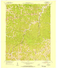
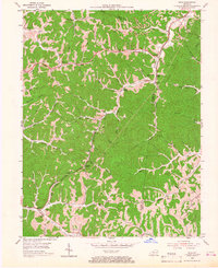
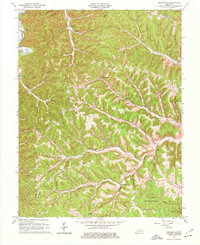
1953 Map of Rush
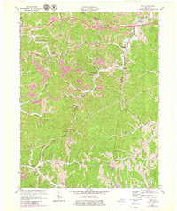
USGS Topo · Published 1955This historical map portrays the area of Rush in 1953, primarily covering Carter County as well as portions of Boyd County and Greenup County. Featuring a scale of 1:24000, this map provides a highly detailed snapshot of the terrain, roads, buildings, counties, and historical landmarks in the Rush region at the time. Published in 1955, it is one of 2 known editions of this map due to revisions or reprints.
Find a feature on this map
55 named features on this map. Tap any name to fly to it.
Don’t see what you’re looking for? This feature index may not catch every label — zoom into the map to look around manually.
Map Details
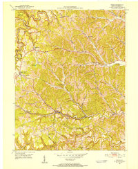
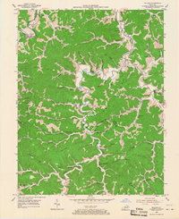
Editions of this 1953 Rush Map
2 editions found
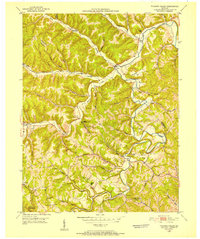
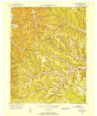
Historical Maps of Denton Through Time
13 maps found
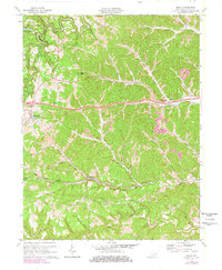
1950 Grahn
Carter County, KY
1950 Tygarts Valley
Carter County, KY
1950 Wesleyville
Carter County, KY

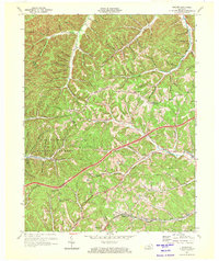
1951 Soldier
Carter County, KY
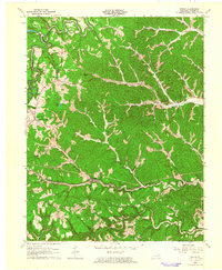
1953 Rush
Carter County, KY
1953 Willard
Carter County, KY
1962 Grahn
Carter County, KY
1962 Tygarts Valley
Carter County, KY
1962 Wesleyville
Carter County, KY
1970 Grahn
Carter County, KY
1970 Soldier
Carter County, KY
1970 Willard
Carter County, KY
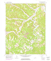
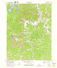
1971 Rush
Carter County, KY