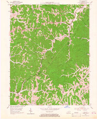
1953 Map of Rush
USGS Topo · Published 1967About this map
Coalton and Kilgore anchor the northern reaches of this mid-century survey, illustrating the industrial and residential patterns of eastern Kentucky. The landscape is defined by the Chesapeake and Ohio railroad corridor, which snakes through the valley alongside Williams Creek. This area served as a vital transportation artery, supported by landmarks like Rush Sta and the Midland Trail. The map reveals a deeply established rural infrastructure, evidenced by numerous family burial grounds such as Salyer Cem and Hazlett Cem, alongside localized education centers like Star Schools and Geigersville Sch.
Find a feature on this map
52 named features on this map. Tap any name to fly to it.
Don’t see what you’re looking for? This feature index may not catch every label — zoom into the map to look around manually.
Map Details
Editions of this 1953 Rush Map
2 editions found
Other maps of this area

1901 · Ceredo
USGS Topo · 1:62,500

1903 · Kenova
USGS Topo · 1:125,000

1904 · Kenova
USGS Topo · 1:125,000

1911 · Louisa
USGS Topo · 1:48,000

1913 · Ceredo
USGS Topo · 1:62,500

1913 · Louisa
USGS Topo · 1:62,500

1939 · Louisa
USGS Topo · 1:62,500

1953 · Grayson
USGS Topo · 1:24,000

1953 · Oldtown
USGS Topo · 1:24,000

1953 · Rush
USGS Topo · 1:24,000