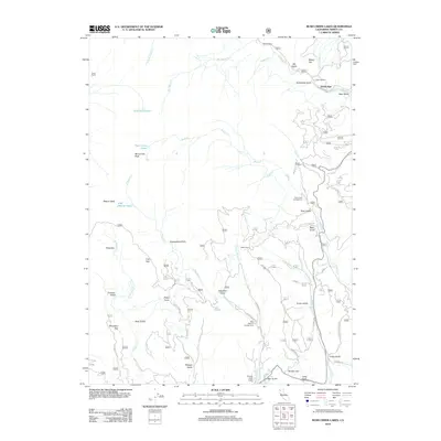
2012 Map of Rush Creek Lakes
USGS Topo · Published 2012About this map
Trinity Alps and its surrounding high-elevation landscape are defined by a network of creeks and steep gulches in this 2012 study of Trinity County. The terrain is marked by significant peaks such as Monument Peak and Weaver Bally, while the hydrology is anchored by the Rush Creek Lakes and East Fork Lakes. Evidence of historic water management or mining activity appears in labels like Sweepstake Ditch, which traverses the slopes near Schofield Gulch.
Find a feature on this map
80 named features on this map. Tap any name to fly to it.
Don’t see what you’re looking for? This feature index may not catch every label — zoom into the map to look around manually.
Map Details
Editions of this 2012 Rush Creek Lakes Map
This is the sole edition of this map. No revisions or reprints were ever made.
Other maps of this area

1890 · Red Bluff
USGS Topo · 1:250,000

1894 · Red Bluff
USGS Topo · 1:250,000

1909 · Big Bar
USGS Topo · 1:96,000

1913 · Weaverville
USGS Topo · 1:125,000

1915 · Big Bar and Vicinity
USGS Topo · 1:250,000

1950 · Minersville
USGS Topo · 1:62,500

1950 · Weaverville
USGS Topo · 1:62,500

1951 · Hayfork
USGS Topo · 1:62,500

1951 · Helena
USGS Topo · 1:62,500

1952 · Weaverville
USGS Topo · 1:62,500