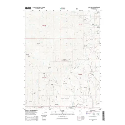
2015 Map of Rush Creek Lakes
USGS Topo · Published 2015About this map
Trinity National Forest encompasses this high-elevation region of the Salmon Mountains, where the rugged topography of the Trinity Alps is carved by a dense network of gulches and creeks. Historically significant mining infrastructure is evidenced by the Sweepstake Ditch, which traverses the slopes below Weaver Bally and Monument Peak. These ditches were critical for hydraulic mining operations, redirecting water across the difficult terrain of the Weaver Creek watershed.
Find a feature on this map
64 named features on this map. Tap any name to fly to it.
Don’t see what you’re looking for? This feature index may not catch every label — zoom into the map to look around manually.
Map Details
Editions of this 2015 Rush Creek Lakes Map
This is the sole edition of this map. No revisions or reprints were ever made.
Other maps of this area

1890 · Red Bluff
USGS Topo · 1:250,000

1894 · Red Bluff
USGS Topo · 1:250,000

1909 · Big Bar
USGS Topo · 1:96,000

1913 · Weaverville
USGS Topo · 1:125,000

1915 · Big Bar and Vicinity
USGS Topo · 1:250,000

1950 · Minersville
USGS Topo · 1:62,500

1950 · Weaverville
USGS Topo · 1:62,500

1951 · Hayfork
USGS Topo · 1:62,500

1951 · Helena
USGS Topo · 1:62,500

1952 · Weaverville
USGS Topo · 1:62,500