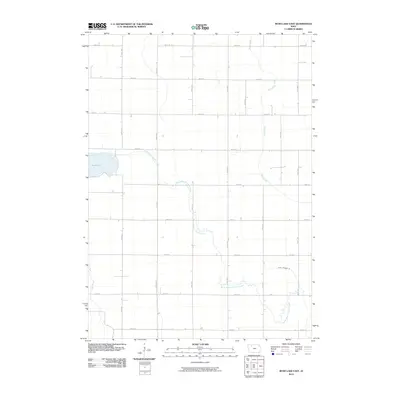
2010 Map of Rush Lake East
USGS Topo · Published 2010About this map
Rush Lake defines the western edge of this agricultural landscape in Palo Alto County, where the topography is shaped by several meandering waterways. The drainage pattern is led by the North Branch Lizard Creek, which snakes through the central and southern sections, while Pilot Creek and Cedar Creek cross the corners of the grid. This map illustrates the intersection of natural hydrology and human engineering, clearly seen in the presence of Ditch Number 36, a feature reflecting the intensive land management required for Iowa farming. The terrain is organized into a precise mile-square section grid, served by a network of rural routes including 470th St and 400th Ave. This layout provides a clear view of the rural homesteads and farmsteads as they were established by the early 21st century.
Find a feature on this map
23 named features on this map. Tap any name to fly to it.
Don’t see what you’re looking for? This feature index may not catch every label — zoom into the map to look around manually.
Map Details
Editions of this 2010 Rush Lake East Map
This is the sole edition of this map. No revisions or reprints were ever made.
Other maps of this area

1954 · Fairmont
USGS Topo · 1:250,000

1954 · Fort Dodge
USGS Topo · 1:250,000

1957 · Fort Dodge
USGS Topo · 1:250,000

1958 · Fort Dodge
USGS Topo · 1:250,000

1958 · Fairmont
USGS Topo · 1:250,000

1971 · Albert City
USGS Topo · 1:24,000

1971 · Rush Lake East
USGS Topo · 1:24,000

1971 · Rush Lake West
USGS Topo · 1:24,000

1971 · Laurens
USGS Topo · 1:24,000

1972 · Ayrshire
USGS Topo · 1:24,000