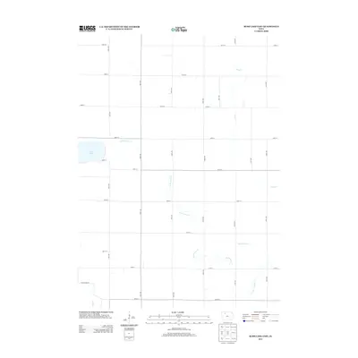
2013 Map of Rush Lake East
USGS Topo · Published 2013About this map
Rush Lake defines the western edge of this agricultural landscape in Palo Alto County, where the plains are divided by a precise grid of county roads. The drainage pattern of the region is characterized by the meandering N Br Lizard Cr and Pilot Cr, which wind through the township sections alongside man-made improvements like Ditch Number 36. These waterways provide a natural counterpoint to the rigid infrastructure of numbered avenues and streets that facilitate the area's farming economy. In the southwest, Cedar Cr and the tellingly named Potato Farm Rd highlight the localized land use and the reliance on the soil. This survey provides a clear look at the rural Iowa section lines and hydrology as they existed in the early twenty-first century.
Find a feature on this map
31 named features on this map. Tap any name to fly to it.
Don’t see what you’re looking for? This feature index may not catch every label — zoom into the map to look around manually.
Map Details
Editions of this 2013 Rush Lake East Map
This is the sole edition of this map. No revisions or reprints were ever made.
Other maps of this area

1954 · Fairmont
USGS Topo · 1:250,000

1954 · Fort Dodge
USGS Topo · 1:250,000

1957 · Fort Dodge
USGS Topo · 1:250,000

1958 · Fort Dodge
USGS Topo · 1:250,000

1958 · Fairmont
USGS Topo · 1:250,000

1971 · Albert City
USGS Topo · 1:24,000

1971 · Rush Lake East
USGS Topo · 1:24,000

1971 · Rush Lake West
USGS Topo · 1:24,000

1971 · Laurens
USGS Topo · 1:24,000

1972 · Ayrshire
USGS Topo · 1:24,000