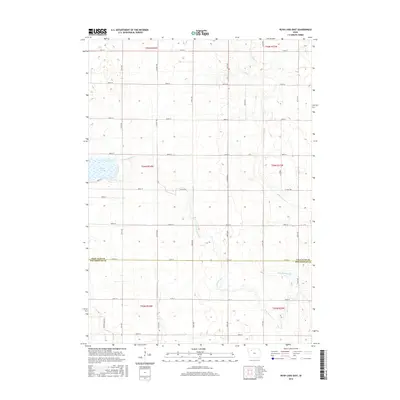
2015 Map of Rush Lake East
USGS Topo · Published 2015About this map
Rush Lake and the winding headwaters of local prairie streams define this corner of northwest Iowa. The landscape is marked by the transition between Palo Alto and Pocahontas counties, where a systematic grid of section-line roads such as 450th St and 510th St overlays the natural drainage of Pilot Creek and the North Branch Lizard Creek. This 2015 survey reflects the modern agricultural character of the region, where historical hydrology was often modified for land use, as seen with Ditch Number 36. The map captures a quiet, rural expanse dominated by seasonal wetlands and the steady flow of Cedar Creek in the south, providing a clear record of the area's physical geography and drainage patterns within Townships 94n r34w and 93n r33w.
Find a feature on this map
22 named features on this map. Tap any name to fly to it.
Don’t see what you’re looking for? This feature index may not catch every label — zoom into the map to look around manually.
Map Details
Editions of this 2015 Rush Lake East Map
This is the sole edition of this map. No revisions or reprints were ever made.
Other maps of this area
1954 · Fairmont
USGS Topo · 1:250,000
1954 · Fort Dodge
USGS Topo · 1:250,000
1957 · Fort Dodge
USGS Topo · 1:250,000
1958 · Fort Dodge
USGS Topo · 1:250,000
1958 · Fairmont
USGS Topo · 1:250,000
1971 · Albert City
USGS Topo · 1:24,000
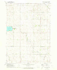
1971 · Rush Lake East
USGS Topo · 1:24,000
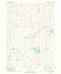
1971 · Rush Lake West
USGS Topo · 1:24,000
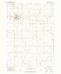
1971 · Laurens
USGS Topo · 1:24,000
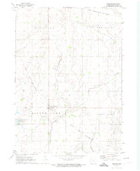
1972 · Ayrshire
USGS Topo · 1:24,000