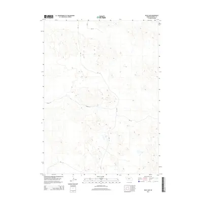
2014 Map of Rush Lake
USGS Topo · Published 2014About this map
Rush Lake and Carver Lake anchor this western Nebraska landscape in Morrill County, where the terrain is defined by the depressions of the Nebraska Sandhills. These alkali lake beds are characteristic of the region's unique hydrology, serving as critical landmarks in an otherwise sparsely settled ranching territory. The distribution of local thoroughfares such as Road 125 and Road 129 reveals a grid of utility, primarily providing access to remote agricultural holdings and ranch properties. Notable in its naming, Communal Rd suggests a shared infrastructure connecting the scattered homesteads and pastures. This 2014 survey by the U.S. Geological Survey captures the specialized land use patterns required for surviving and working in this semi-arid environment, far from the denser urban centers of the state.
Find a feature on this map
10 named features on this map. Tap any name to fly to it.
Don’t see what you’re looking for? This feature index may not catch every label — zoom into the map to look around manually.
Map Details
Editions of this 2014 Rush Lake Map
This is the sole edition of this map. No revisions or reprints were ever made.
Other maps of this area
1896 · Browns Creek
USGS Topo · 1:125,000
1899 · Browns Creek
USGS Topo · 1:125,000
1947 · Alliance
USGS Topo · 1:24,000
1947 · Bronco Lake
USGS Topo · 1:24,000
1948 · Alliance
USGS Topo · 1:24,000
1948 · Antioch
USGS Topo · 1:62,500
1949 · Lynn
USGS Topo · 1:62,500
1949 · Bronco Lake
USGS Topo · 1:24,000
1949 · Antioch
USGS Topo · 1:62,500
1950 · Storm Lake
USGS Topo · 1:62,500