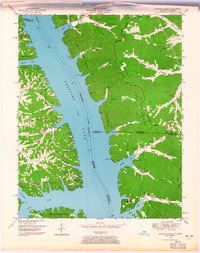
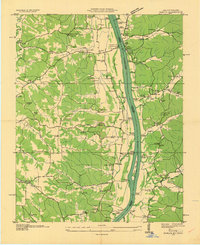
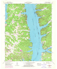
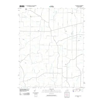
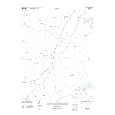
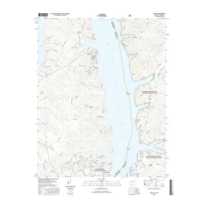
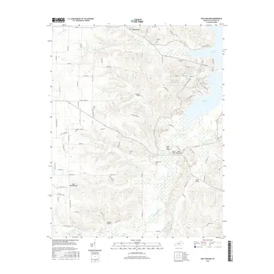
1950 Map of Rushing Creek
USGS Topo · Published 1965About this map
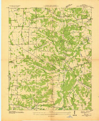
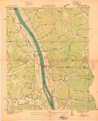
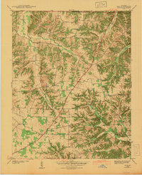
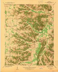
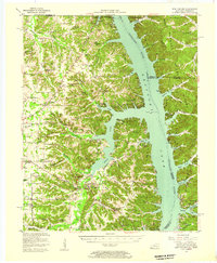
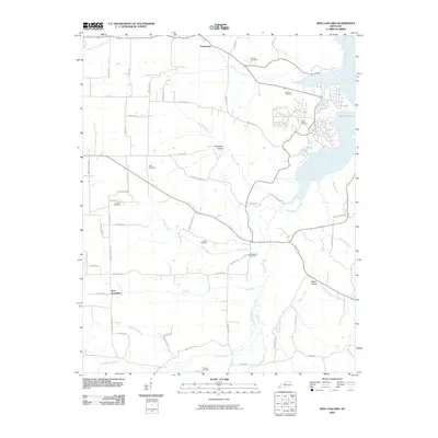
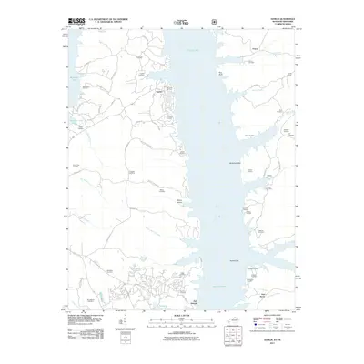
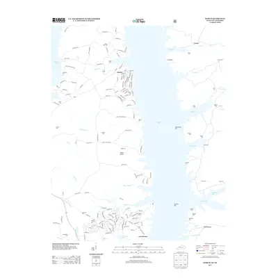
Kentucky Lake dominates this landscape along the state line, where the impounded Tennessee River creates a jagged shoreline of inlets and hollows. The area known as Between the Rivers occupies the eastern half of the map, a complex of ridges and valleys such as Mays Hollow and Wienger Hollow that drain toward the reservoir. In the early 1950s, this region was a mix of recreational development and established rural heritage. Genealogists can trace family histories through numerous hilltop burial grounds including McDaniel Cem, Haynes Cem, and Turkey Creek Cem. The emergence of the lake era is evident in the Center Ridge Cabin Area and Ginger Creek Cabin Area, while the Kentucky Woodlands Wildlife Refuge preserves the wooded interior. Important local landmarks like Center Ridge Church and a Lookout tower stand on the high ground of Kirk Ridge and the Valley Divide.
Find a feature on this map
56 named features on this map. Tap any name to fly to it.
Don’t see what you’re looking for? This feature index may not catch every label — zoom into the map to look around manually.
Map Details
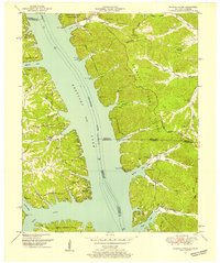
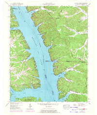
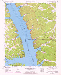
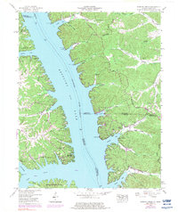
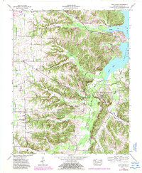
Editions of this 1950 Rushing Creek Map
5 editions found
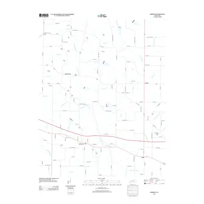
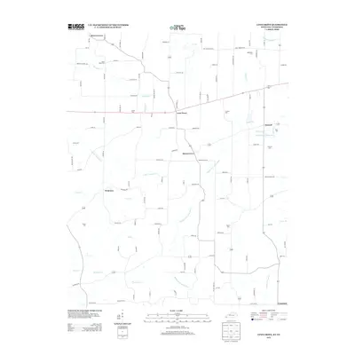
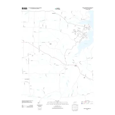
Historical Maps of Boatwright Through Time
40 maps found
1936 Hamlin
Calloway County, KY
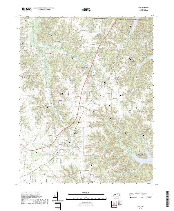
1936 Hico
Calloway County, KY
1936 Kirksey
Calloway County, KY
1936 Lynn Grove
Calloway County, KY
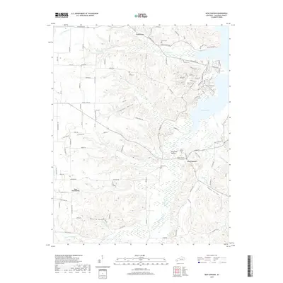
1936 New Concord
Calloway County, KY
1936 Rushing
Calloway County, KY
1942 Hico
Calloway County, KY
1942 New Concord
Calloway County, KY
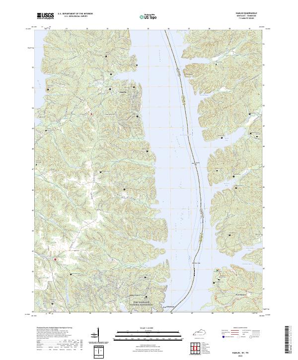
1950 Hamlin
Calloway County, KY
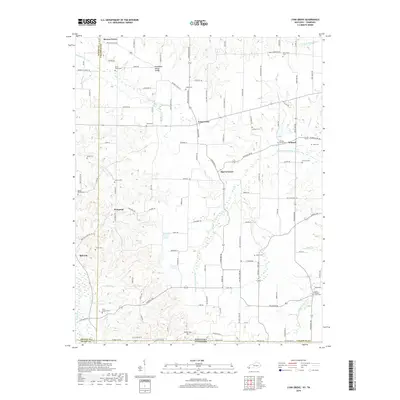
1950 Rushing Creek
Calloway County, KY
1951 Kirksey
Calloway County, KY
1951 Lynn Grove
Calloway County, KY

1955 Hico
Calloway County, KY
1955 New Concord
Calloway County, KY
1955 New Concord
Calloway County, KY
2010 Hico
Calloway County, KY
2010 Kirksey
Calloway County, KY
2010 Lynn Grove
Calloway County, KY
2010 New Concord
Calloway County, KY
2011 Hamlin
Calloway County, KY
2013 Hamlin
Calloway County, KY
2013 Hico
Calloway County, KY
2013 Kirksey
Calloway County, KY
2013 Lynn Grove
Calloway County, KY
2013 New Concord
Calloway County, KY
2016 Hamlin
Calloway County, KY
2016 Hico
Calloway County, KY
2016 Kirksey
Calloway County, KY
2016 Lynn Grove
Calloway County, KY
2016 New Concord
Calloway County, KY
2019 Hamlin
Calloway County, KY
2019 Hico
Calloway County, KY
2019 Kirksey
Calloway County, KY
2019 Lynn Grove
Calloway County, KY
2019 New Concord
Calloway County, KY
2022 Hamlin
Calloway County, KY
2022 Hico
Calloway County, KY
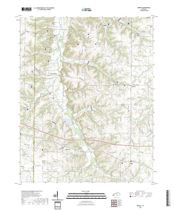
2022 Kirksey
Calloway County, KY
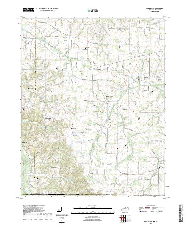
2022 Lynn Grove
Calloway County, KY
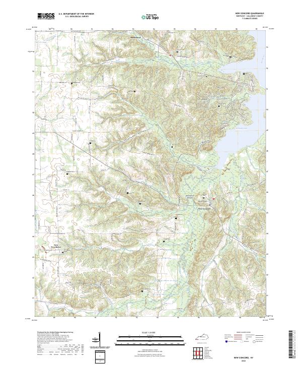
2022 New Concord
Calloway County, KY