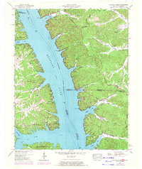
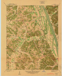
1950 Map of Rushing Creek
USGS Topo · Published 1972About this map
Kentucky Lake dominates this landscape along the border of Kentucky and Tennessee, where the Tennessee River channel is submerged beneath its waters. The map captures a transitional era of recreation and local residency, from the established Kenlake State Park in the northwest to the developing Center Ridge Cabin Area. Away from the shoreline, the terrain rises toward the Tennessee Valley Divide, where numerous family burial grounds like McDaniel Cem, Haynes Cem, and Rushing Cem remain as markers of the area's rural history. This 1950s survey, updated in the early 1970s, details the winding fingers of the lake including Ginger Bay and Turkey Bay, which carved deep into the hills. Notable local landmarks like the Center Ridge Church and the Lookout Tower near the state park provide fixed points for genealogists and local historians tracing the evolution of these lakefront communities.
Find a feature on this map
47 named features on this map. Tap any name to fly to it.
Don’t see what you’re looking for? This feature index may not catch every label — zoom into the map to look around manually.
Map Details
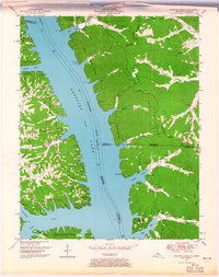
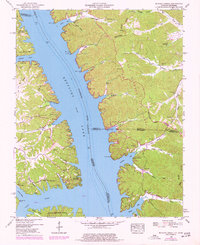
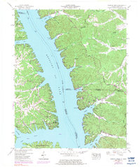
Editions of this 1950 Rushing Creek Map
5 editions found

Other maps of this area

1936 · Tharpe
USGS Topo · 1:24,000

1936 · New Concord
USGS Topo · 1:24,000

1936 · Hamlin
USGS Topo · 1:24,000

1936 · Fenton
USGS Topo · 1:24,000

1936 · Hiatt
USGS Topo · 1:24,000

1936 · Golden Pond
USGS Topo · 1:48,000

1936 · Rushing
USGS Topo · 1:24,000

1936 · Hico
USGS Topo · 1:24,000
1940 · Hiatt
USGS Topo · 1:24,000

1942 · New Concord
USGS Topo · 1:24,000