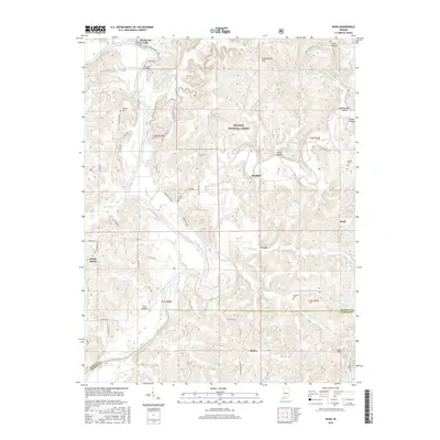
2016 Map of Rusk
USGS Topo · Published 2016About this map
The East Fork White River and the Lost River carve through the borderlands of Martin and Dubois counties, defining a landscape of sharp ridges and deep hollows. Much of the eastern terrain is protected within the Hoosier National Forest, where labels like Coal Hollow and Harner Hollow mark the complex topography. Small settlements such as Thales, Rusk, and Windom serve as anchors for a network of rural roads, including Jackman Hill Rd and Abel Hill Rd.
Find a feature on this map
79 named features on this map. Tap any name to fly to it.
Don’t see what you’re looking for? This feature index may not catch every label — zoom into the map to look around manually.
Map Details
Editions of this 2016 Rusk Map
This is the sole edition of this map. No revisions or reprints were ever made.
Other maps of this area

1946 · Jasper
USGS Topo · 1:24,000

1948 · Huron
USGS Topo · 1:24,000

1950 · Huron
USGS Topo · 1:24,000

1950 · Shoals
USGS Topo · 1:24,000

1951 · Hillham
USGS Topo · 1:24,000

1954 · Dubois
USGS Topo · 1:24,000

1956 · Alfordsville
USGS Topo · 1:24,000

1956 · Loogootee
USGS Topo · 1:24,000

1956 · Rusk
USGS Topo · 1:24,000

1956 · Vincennes
USGS Topo · 1:250,000