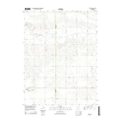
2014 Map of Ruskin
USGS Topo · Published 2014About this map
Ruskin serves as the primary hub in this agricultural region of southern Nebraska, situated just north of the Us-136 corridor. The landscape is defined by the winding course of the Little Blue River and its tributaries, including Thawes Cr and the S Fork Big Sandy Cr. This area on the Nuckolls and Thayer county line maintains a strong connection to its early rural heritage, evidenced by a high density of country burial grounds. Researchers will find numerous sites of local significance, such as Saint Pauls Cem, Saint Marks Cem, and Mt Zion Cem, which are scattered among the section-line roads and rolling drainage basins. Smaller water features like Drohman Reservoir and Lipker Reservoir punctuate the grid-based terrain, illustrating the localized water management essential to the prairie economy of the early 21st century.
Find a feature on this map
33 named features on this map. Tap any name to fly to it.
Don’t see what you’re looking for? This feature index may not catch every label — zoom into the map to look around manually.
Map Details
Editions of this 2014 Ruskin Map
This is the sole edition of this map. No revisions or reprints were ever made.
Other maps of this area

1898 · Hebron
USGS Topo · 1:125,000

1955 · Lincoln
USGS Topo · 1:250,000

1957 · Lincoln
USGS Topo · 1:250,000

1958 · Lincoln
USGS Topo · 1:250,000

1960 · Byron
USGS Topo · 1:24,000

1960 · Edgar
USGS Topo · 1:24,000

1960 · Davenport
USGS Topo · 1:24,000
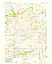
1960 · Oak
USGS Topo · 1:24,000

1960 · Carleton
USGS Topo · 1:24,000
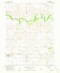
1960 · Ruskin
USGS Topo · 1:24,000