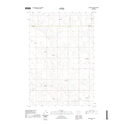
2020 Map of Ruskosky Ridge
USGS Topo · Published 2020About this map
Ruskosky Ridge serves as the central landform in this high-plains landscape where the borders of Rosebud and Treasure counties meet. The terrain is defined by a series of significant drainages and erosion features, including Bone Coulee, Sand Coulee, and Stove Coulee, which carve into the elevated plateau of Muggins Taylor Flat. The ephemeral nature of the water system is evident in the paths of W Muggins Cr and the deeply recessed Dry Gulch in the south.
Find a feature on this map
19 named features on this map. Tap any name to fly to it.
Don’t see what you’re looking for? This feature index may not catch every label — zoom into the map to look around manually.
Map Details
Editions of this 2020 Ruskosky Ridge Map
This is the sole edition of this map. No revisions or reprints were ever made.
Other maps of this area

1954 · Forsyth
USGS Topo · 1:250,000

1957 · Forsyth
USGS Topo · 1:250,000

1958 · Forsyth
USGS Topo · 1:250,000

1960 · Rancher Cemetery
USGS Topo · 1:24,000

1960 · Ingomar West
USGS Topo · 1:24,000

1960 · Mc Konkey Creek
USGS Topo · 1:24,000

1962 · Guthridge Ranch
USGS Topo · 1:24,000

1962 · Sumatra
USGS Topo · 1:24,000

1979 · Melstone
USGS Topo · 1:100,000

1979 · Hysham
USGS Topo · 1:100,000