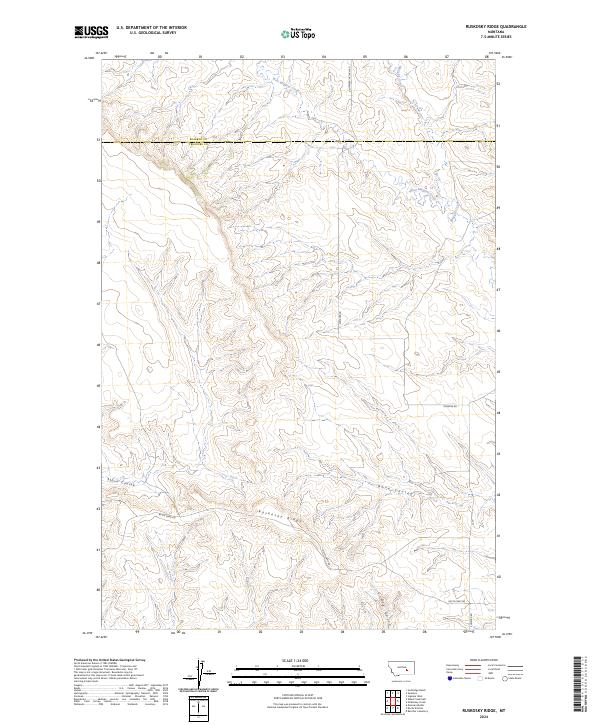
2024 Map of Ruskosky Ridge
USGS Topo · Published 2024About this map
Ruskosky Ridge dominates this section of the Montana high plains, marking the boundary between the drainage of Muggins Creek and the deep incisions of Stove Coulee. Located on the line between Treasure and Rosebud counties, the landscape is defined by its complex network of seasonal drainages, including West Muggins Creek and Bone Coulee, which flow through the undulating terrain. A handful of local routes like Sumatra Rd and Butte Camp Rd provide the only access across these divides, reflecting a sparsely populated ranching territory where geographic features serve as primary landmarks. The presence of Dry Gulch further emphasizes the arid, erosional character of the region's topography.
Find a feature on this map
10 named features on this map. Tap any name to fly to it.
Don’t see what you’re looking for? This feature index may not catch every label — zoom into the map to look around manually.
Map Details
Editions of this 2024 Ruskosky Ridge Map
This is the sole edition of this map. No revisions or reprints were ever made.
Other maps of this area

1954 · Forsyth
USGS Topo · 1:250,000

1957 · Forsyth
USGS Topo · 1:250,000

1958 · Forsyth
USGS Topo · 1:250,000

1960 · Rancher Cemetery
USGS Topo · 1:24,000

1960 · Ingomar West
USGS Topo · 1:24,000

1960 · Mc Konkey Creek
USGS Topo · 1:24,000

1962 · Guthridge Ranch
USGS Topo · 1:24,000

1962 · Sumatra
USGS Topo · 1:24,000

1979 · Melstone
USGS Topo · 1:100,000

1979 · Hysham
USGS Topo · 1:100,000