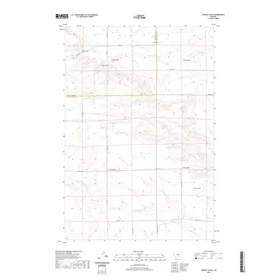
2020 Map of Russell Gulch
USGS Topo · Published 2020About this map
Lake Basin sits at the northern edge of this Montana landscape, where the open high plains of Sweet Grass County meet the Stillwater County line. The terrain is defined by a dense network of intermittent drainages and named coulees, including Russell Gulch and Hoppy Gulch, which feed into larger watercourses like Middle Cr and Whitney Cr. The map reveals a land divided by township and range lines, reflecting the early 20th-century homesteading patterns that established the local road network. Remote section-line roads such as Phipps Rd, Gibson Rd, and Springtime Rd connect isolated ranching tracts. In the southern half, the land descends toward the E White Beaver Cr and Gurney Gulch drainage systems, showing the complex hydrology of the eastern Montana rangelands.
Find a feature on this map
29 named features on this map. Tap any name to fly to it.
Don’t see what you’re looking for? This feature index may not catch every label — zoom into the map to look around manually.
Map Details
Editions of this 2020 Russell Gulch Map
This is the sole edition of this map. No revisions or reprints were ever made.
Other maps of this area
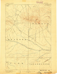
1889 · Big Snowy Mountain
USGS Topo · 1:250,000
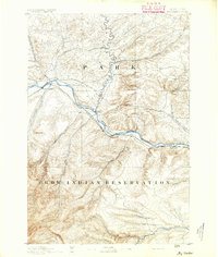
1891 · Big Timber
USGS Topo · 1:125,000
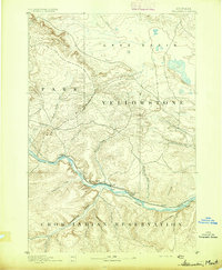
1892 · Stillwater
USGS Topo · 1:125,000
1893 · Big Snowy Mountain
USGS Topo · 1:250,000
1893 · Big Timber
USGS Topo · 1:125,000
1954 · Billings
USGS Topo · 1:250,000

1954 · Roundup
USGS Topo · 1:250,000
1955 · Antelope Point
USGS Topo · 1:24,000
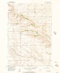
1955 · Russell Gulch
USGS Topo · 1:24,000
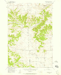
1955 · Stephens Hill
USGS Topo · 1:24,000