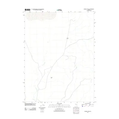
2011 Map of Russell Peak
USGS Topo · Published 2011About this map
Russell Peak dominates this high-desert terrain in Washoe County, providing a significant landmark for the surrounding drainage patterns. The landscape is defined by its arid hydrology, with the meandering course of Mud Lake Slough tracking through the lower elevations while Creel Spring offers a rare water source in the higher desert reaches. The presence of Valley Rd and various unimproved paths suggests a region primarily used for ranching or range management during this early 21st-century period. A north-south corridor through Coyote Canyon indicates the natural movement of travel through the topography, connecting the disparate water features and summits across this remote section of Nevada.
Find a feature on this map
5 named features on this map. Tap any name to fly to it.
Don’t see what you’re looking for? This feature index may not catch every label — zoom into the map to look around manually.
Map Details
Editions of this 2011 Russell Peak Map
This is the sole edition of this map. No revisions or reprints were ever made.
Other maps of this area

1886 · Granite Range
USGS Topo · 1:250,000
1890 · Wadsworth
USGS Topo · 1:125,000
1892 · Wadsworth
USGS Topo · 1:125,000

1894 · Granite Range
USGS Topo · 1:250,000
1894 · Wadsworth
USGS Topo · 1:125,000

1955 · Lovelock
USGS Topo · 1:250,000
1957 · Fireball Ridge
USGS Topo · 1:62,500
1957 · Nixon
USGS Topo · 1:62,500
1957 · Reno
USGS Topo · 1:250,000

1959 · Lovelock
USGS Topo · 1:250,000