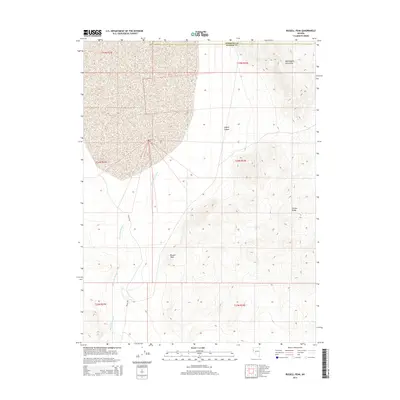
2014 Map of Russell Peak
USGS Topo · Published 2014About this map
Russell Peak stands as the central landmark in this high-desert landscape on the border of Pershing and Washoe counties. The terrain is defined by the elevation changes between the Nightingale Mountains in the northeast and the Truckee Range to the southeast. A significant portion of the western geography is occupied by the winding drainage of Mud Lake Slough, which cuts through the arid basins. While largely undeveloped, the area contains vital water points such as Cheel Spring and is accessible via the unpaved Valley Rd. This 2014 survey illustrates the stark topographical relief of the Great Basin, where isolated peaks and canyons like Coyote Canyon dictate the movement of both water and travel across the high plains of Nevada.
Find a feature on this map
8 named features on this map. Tap any name to fly to it.
Don’t see what you’re looking for? This feature index may not catch every label — zoom into the map to look around manually.
Map Details
Editions of this 2014 Russell Peak Map
This is the sole edition of this map. No revisions or reprints were ever made.
Other maps of this area

1886 · Granite Range
USGS Topo · 1:250,000
1890 · Wadsworth
USGS Topo · 1:125,000
1892 · Wadsworth
USGS Topo · 1:125,000

1894 · Granite Range
USGS Topo · 1:250,000
1894 · Wadsworth
USGS Topo · 1:125,000

1955 · Lovelock
USGS Topo · 1:250,000
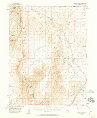
1957 · Fireball Ridge
USGS Topo · 1:62,500
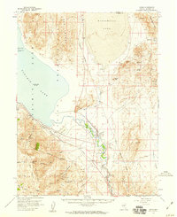
1957 · Nixon
USGS Topo · 1:62,500
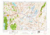
1957 · Reno
USGS Topo · 1:250,000

1959 · Lovelock
USGS Topo · 1:250,000