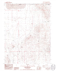
1986 Map of Russell Peak
USGS Topo · Published 1986About this map
Winnemucca Lake dominates the northern desert floor in this mid-1980s topographical study of the arid Washoe and Pershing county border. The landscape is defined by the steep elevation changes between the Nightingale Mountains to the northeast and the Truckee Range to the southeast, with Russell Peak standing as a prominent central landmark. This era of mapping captures the area's resource extraction history, documented through numerous unnamed Prospect locations and a Gravel Pit near the lake's southern reaches.
Find a feature on this map
19 named features on this map. Tap any name to fly to it.
Don’t see what you’re looking for? This feature index may not catch every label — zoom into the map to look around manually.
Map Details
Editions of this 1986 Russell Peak Map
This is the sole edition of this map. No revisions or reprints were ever made.
Other maps of this area

1886 · Granite Range
USGS Topo · 1:250,000

1890 · Wadsworth
USGS Topo · 1:125,000

1892 · Wadsworth
USGS Topo · 1:125,000

1894 · Granite Range
USGS Topo · 1:250,000

1894 · Wadsworth
USGS Topo · 1:125,000

1955 · Lovelock
USGS Topo · 1:250,000

1957 · Fireball Ridge
USGS Topo · 1:62,500

1957 · Nixon
USGS Topo · 1:62,500

1957 · Reno
USGS Topo · 1:250,000

1959 · Lovelock
USGS Topo · 1:250,000