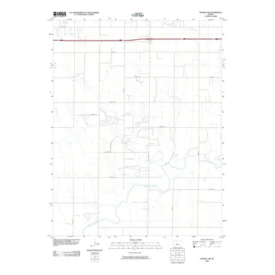
2009 Map of Russell SW
USGS Topo · Published 2009About this map
The Smoky Hill River meanders across the southern portion of this landscape, defining the local drainage system as it winds past the rural grid of Russell County. This 2009 survey highlights the geographic transition from the river valley to the upland plains, where several significant tributaries such as Big Creek, Walker Creek, and Fossil Creek cut through the terrain. The northern half of the quadrangle is bisected by the heavy transit corridor of Interstate 70 and US Route 40, which run parallel to the local agricultural infrastructure. Local transit is managed by a network of sectional roads like Lincoln Dr, Balta Galatia Rd, and Grant Rd, which connect the scattered farmsteads and rural properties that characterize this part of the Kansas plains.
Find a feature on this map
22 named features on this map. Tap any name to fly to it.
Don’t see what you’re looking for? This feature index may not catch every label — zoom into the map to look around manually.
Map Details
Editions of this 2009 Russell SW Map
This is the sole edition of this map. No revisions or reprints were ever made.
Other maps of this area
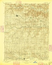
1896 · Russell
USGS Topo · 1:125,000
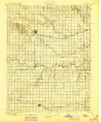
1896 · Hays
USGS Topo · 1:125,000

1955 · Great Bend
USGS Topo · 1:250,000

1957 · Great Bend
USGS Topo · 1:250,000

1958 · Great Bend
USGS Topo · 1:250,000
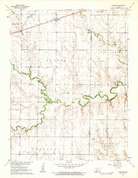
1961 · Walker
USGS Topo · 1:24,000
1961 · Russell SW
USGS Topo · 1:24,000
1961 · Homer
USGS Topo · 1:24,000
1967 · Russell NW
USGS Topo · 1:24,000
1967 · Russell
USGS Topo · 1:24,000