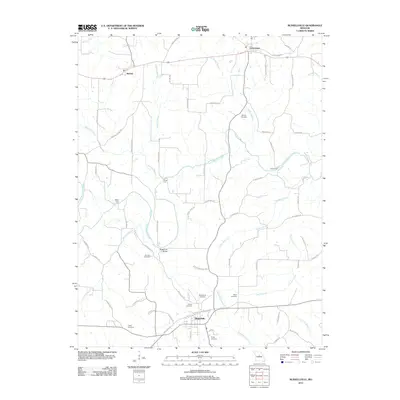
2011 Map of Russellville
USGS Topo · Published 2011About this map
Russellville and Centertown anchor this Cole County landscape, where rural life is defined by the winding course of North Moreau Creek. The map reveals a dense network of family-named landmarks and infrastructure, such as the Rockhouse Bridge and several river crossings including Blank Ford, Shock Ford, and Kaley Ford. These crossings suggest a historical reliance on specific low-water points for local travel before modern bridging was universal.
Find a feature on this map
66 named features on this map. Tap any name to fly to it.
Don’t see what you’re looking for? This feature index may not catch every label — zoom into the map to look around manually.
Map Details
Editions of this 2011 Russellville Map
This is the sole edition of this map. No revisions or reprints were ever made.
Other maps of this area

1886 · Jefferson City
USGS Topo · 1:125,000

1888 · Versailles
USGS Topo · 1:125,000

1888 · Tuscumbia
USGS Topo · 1:125,000

1888 · Boonville
USGS Topo · 1:125,000

1893 · Versailles
USGS Topo · 1:125,000

1894 · Tuscumbia
USGS Topo · 1:125,000

1894 · Jefferson City
USGS Topo · 1:125,000

1904 · Eldon
USGS Topo · 1:62,500

1947 · Jefferson City
USGS Topo · 1:250,000

1948 · Centertown
USGS Topo · 1:62,500