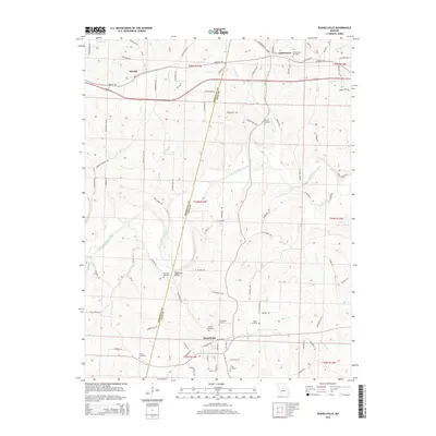
2015 Map of Russellville
USGS Topo · Published 2015About this map
Russellville and Centertown anchor this 2015 survey of the border between Moniteau and Cole Counties. The landscape is defined by the winding course of North Moreau Creek and its many tributaries, including Strobel Br and Van Pool Br. This modern topographic study preserves the locations of numerous historic family and community burial grounds, such as Enloe Cemetery, Wilson Cemetery, and the Murray Cemetery located near Murray Ridge.
Find a feature on this map
97 named features on this map. Tap any name to fly to it.
Don’t see what you’re looking for? This feature index may not catch every label — zoom into the map to look around manually.
Map Details
Editions of this 2015 Russellville Map
This is the sole edition of this map. No revisions or reprints were ever made.
Other maps of this area

1886 · Jefferson City
USGS Topo · 1:125,000

1888 · Versailles
USGS Topo · 1:125,000

1888 · Tuscumbia
USGS Topo · 1:125,000

1888 · Boonville
USGS Topo · 1:125,000

1893 · Versailles
USGS Topo · 1:125,000

1894 · Tuscumbia
USGS Topo · 1:125,000

1894 · Jefferson City
USGS Topo · 1:125,000

1904 · Eldon
USGS Topo · 1:62,500

1947 · Jefferson City
USGS Topo · 1:250,000

1948 · Centertown
USGS Topo · 1:62,500