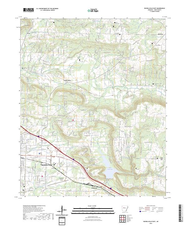
2024 Map of Russellville East
USGS Topo · Published 2024About this map
Russellville and its eastern surroundings are anchored by the commercial and transport activity near the Russellville Regional Airport. This 2024 survey captures the interface between urban expansion and the rural landscape of Pope County, where established neighborhoods meet the foothills of Carrion Crow Mtn and Linker Mtn. The hydrology of the region is defined by the systems of Whig Creek and Prairie Creek, which drain toward the larger Galla Creek Lake in the southern portion of the quadrangle.
Find a feature on this map
204 named features on this map. Tap any name to fly to it.
Don’t see what you’re looking for? This feature index may not catch every label — zoom into the map to look around manually.
Map Details
Editions of this 2024 Russellville East Map
This is the sole edition of this map. No revisions or reprints were ever made.
Other maps of this area

1888 · Dardanelle #4
USGS Topo · 1:62,500

1888 · Dardanelle #1
USGS Topo · 1:62,500

1889 · Morrilton No. 3
USGS Topo · 1:62,500

1890 · Dardanelle
USGS Topo · 1:125,000

1892 · Morrillton
USGS Topo · 1:125,000

1894 · Morrillton
USGS Topo · 1:125,000

1956 · Russellville
USGS Topo · 1:250,000

1961 · Atkins
USGS Topo · 1:24,000
1961 · Dover
USGS Topo · 1:24,000
1962 · Hector
USGS Topo · 1:24,000