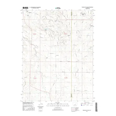
2016 Map of Russellville Gulch
USGS Topo · Published 2016About this map
Russellville Gulch and the surrounding high plains of Douglas and Elbert Counties are defined by a complex drainage system where Cherry Creek and its eastern and western forks carve through the terrain. The landscape is characterized by prominent geological features such as Wildcat Canyon and Reed Hollow, which contrast with the growing residential footprints of Elizabeth and Franktown. Local aviation is represented by private facilities including Reed Hollow Ranch Airport and Buffalo Airport, reflecting the rural-residential character of the area. A notable landmark in the northern portion of the map is the Franktown Parker FPR-4 Reservoir, a modern addition to the hydrological management of the region. The map captures a moment of transition where large ranching parcels and topographical features like Moonshine Gulch sit alongside suburban development and organized street networks in Ponderosa Park.
Find a feature on this map
101 named features on this map. Tap any name to fly to it.
Don’t see what you’re looking for? This feature index may not catch every label — zoom into the map to look around manually.
Map Details
Editions of this 2016 Russellville Gulch Map
This is the sole edition of this map. No revisions or reprints were ever made.
Other maps of this area

1894 · Castle Rock
USGS Topo · 1:125,000

1913 · Castle Rock
USGS Topo · 1:125,000

1939 · Elizabeth
USGS Topo · 1:62,500

1940 · Elbert
USGS Topo · 1:62,500

1940 · Castle Rock
USGS Topo · 1:62,500

1944 · Elbert
USGS Topo · 1:62,500

1945 · Castle Rock
USGS Topo · 1:62,500

1945 · Elizabeth
USGS Topo · 1:62,500

1953 · Denver
USGS Topo · 1:250,000

1954 · Cherry Valley School
USGS Topo · 1:24,000