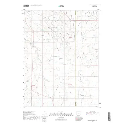
2019 Map of Russellville Gulch
USGS Topo · Published 2019About this map
Cherry Cr and its tributaries, E Cherry Cr and W Cherry Cr, dominate this high-plains landscape on the border of Douglas and Elbert counties. The settlement of Elizabeth sits at the eastern edge of the quadrangle near the headwaters of Gold Cr, while the community of Reed Hollow is positioned further west. The terrain is marked by significant geographic depressions and water management, including the Franktown Parker FPR-1 Reservoir and the deep incisions of Wildcat Canyon and the Inner Canyon. Private aviation is prominent in this rural setting, evidenced by the Reed Hollow Ranch Airport and Buffalo Airport. A dense network of local roads and trails, such as Russellville Rd and Flintwood Rd, provides access across the drainage systems of Russellville Gulch and Antelope Cr.
Find a feature on this map
100 named features on this map. Tap any name to fly to it.
Don’t see what you’re looking for? This feature index may not catch every label — zoom into the map to look around manually.
Map Details
Editions of this 2019 Russellville Gulch Map
This is the sole edition of this map. No revisions or reprints were ever made.
Other maps of this area

1894 · Castle Rock
USGS Topo · 1:125,000

1913 · Castle Rock
USGS Topo · 1:125,000

1939 · Elizabeth
USGS Topo · 1:62,500

1940 · Elbert
USGS Topo · 1:62,500

1940 · Castle Rock
USGS Topo · 1:62,500

1944 · Elbert
USGS Topo · 1:62,500

1945 · Castle Rock
USGS Topo · 1:62,500

1945 · Elizabeth
USGS Topo · 1:62,500

1953 · Denver
USGS Topo · 1:250,000

1954 · Cherry Valley School
USGS Topo · 1:24,000