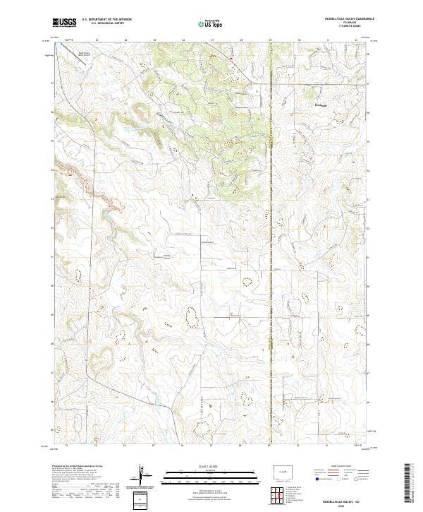
2022 Map of Russellville Gulch
USGS Topo · Published 2022About this map
Elizabeth sits on the eastern edge of this landscape where the high plains of Elbert County meet the canyon-cut terrain of Douglas County. The hydrology of the area is defined by the northward flow of Cherry Cr, which is fed by tributaries like W Cherry Cr and E Cherry Cr, along with the Goodrich Ditch irrigation feature. These watercourses have carved significant landforms such as Russellville Gulch and Wildcat Canyon, creating a varied topography that contrasts with the developing residential areas.
Find a feature on this map
102 named features on this map. Tap any name to fly to it.
Don’t see what you’re looking for? This feature index may not catch every label — zoom into the map to look around manually.
Map Details
Editions of this 2022 Russellville Gulch Map
This is the sole edition of this map. No revisions or reprints were ever made.
Other maps of this area

1894 · Castle Rock
USGS Topo · 1:125,000

1913 · Castle Rock
USGS Topo · 1:125,000

1939 · Elizabeth
USGS Topo · 1:62,500

1940 · Elbert
USGS Topo · 1:62,500

1940 · Castle Rock
USGS Topo · 1:62,500

1944 · Elbert
USGS Topo · 1:62,500

1945 · Castle Rock
USGS Topo · 1:62,500

1945 · Elizabeth
USGS Topo · 1:62,500

1953 · Denver
USGS Topo · 1:250,000

1954 · Cherry Valley School
USGS Topo · 1:24,000