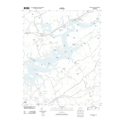
2010 Map of Russellville
USGS Topo · Published 2010About this map
Cherokee Lake dominates this East Tennessee landscape, where the flooded reaches of the Holston River define a complex shoreline of inlets and shoals. The surrounding terrain is characterized by a series of parallel ridges and hollows, such as Spring Ridge and Reed Hollow, which have shaped local settlement patterns for generations. A high density of family burial grounds, including Etter Cemetery, Kenner Cemetery, and Bassett Cemetery, points to the deep ancestral roots of the rural communities surrounding the water.
Find a feature on this map
118 named features on this map. Tap any name to fly to it.
Don’t see what you’re looking for? This feature index may not catch every label — zoom into the map to look around manually.
Map Details
Editions of this 2010 Russellville Map
This is the sole edition of this map. No revisions or reprints were ever made.
Other maps of this area

1883 · Morristown
USGS Topo · 1:125,000

1893 · Morristown
USGS Topo · 1:125,000

1895 · Morristown
USGS Topo · 1:125,000

1935 · Rogersville
USGS Topo · 1:48,000

1935 · Tate Springs
USGS Topo · 1:48,000

1935 · Lee Valley
USGS Topo · 1:24,000

1935 · Springvale
USGS Topo · 1:24,000

1935 · Swan Island
USGS Topo · 1:24,000

1935 · Morristown
USGS Topo · 1:24,000

1935 · Russellville
USGS Topo · 1:24,000