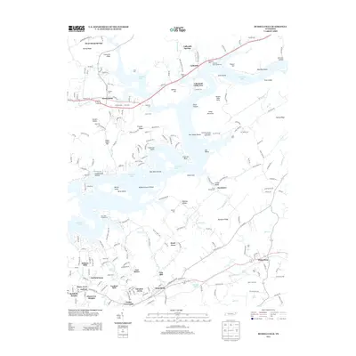
2013 Map of Russellville
USGS Topo · Published 2013About this map
Russellville and Whitesburg anchor the southern corridor of this Hamblen County landscape, where modern development meets established family lands. The sprawling reach of Cherokee Lake dominates the central terrain, its complex shoreline creating distinctive points like Anderson Bend and Berry Island. This reservoir, created by the impoundment of the Holston River, submerged older riverbank geography but left visible ridges like Sassafras Ridge and Nenny Ridge that still define the local topography.
Find a feature on this map
216 named features on this map. Tap any name to fly to it.
Don’t see what you’re looking for? This feature index may not catch every label — zoom into the map to look around manually.
Map Details
Editions of this 2013 Russellville Map
This is the sole edition of this map. No revisions or reprints were ever made.
Other maps of this area

1883 · Morristown
USGS Topo · 1:125,000

1893 · Morristown
USGS Topo · 1:125,000

1895 · Morristown
USGS Topo · 1:125,000
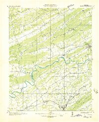
1935 · Rogersville
USGS Topo · 1:48,000
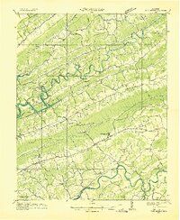
1935 · Tate Springs
USGS Topo · 1:48,000
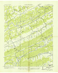
1935 · Lee Valley
USGS Topo · 1:24,000
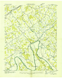
1935 · Springvale
USGS Topo · 1:24,000
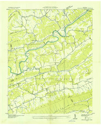
1935 · Swan Island
USGS Topo · 1:24,000
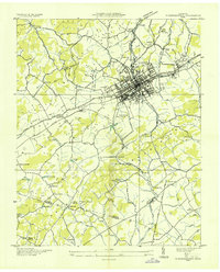
1935 · Morristown
USGS Topo · 1:24,000
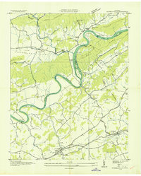
1935 · Russellville
USGS Topo · 1:24,000