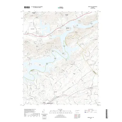
2019 Map of Russellville
USGS Topo · Published 2019About this map
Cherokee Lake dominates the central landscape of this survey, its complex shoreline twisting around Anderson Bend and reaching into numerous hollows. The terrain transitions from the inundated valleys of Mooresburg Br and Fall Creek to the prominent ridges of Stony Mountain and Nenny Ridge. Along the southern reaches, established communities like Russellville and Whitesburg are connected by a network of historic thoroughfares, including the Old Russellville Pike and Stagecoach Rd.
Find a feature on this map
172 named features on this map. Tap any name to fly to it.
Don’t see what you’re looking for? This feature index may not catch every label — zoom into the map to look around manually.
Map Details
Editions of this 2019 Russellville Map
This is the sole edition of this map. No revisions or reprints were ever made.
Other maps of this area

1883 · Morristown
USGS Topo · 1:125,000

1893 · Morristown
USGS Topo · 1:125,000

1895 · Morristown
USGS Topo · 1:125,000

1935 · Rogersville
USGS Topo · 1:48,000

1935 · Tate Springs
USGS Topo · 1:48,000

1935 · Lee Valley
USGS Topo · 1:24,000

1935 · Springvale
USGS Topo · 1:24,000

1935 · Swan Island
USGS Topo · 1:24,000

1935 · Morristown
USGS Topo · 1:24,000

1935 · Russellville
USGS Topo · 1:24,000