2022 Map of Russellville
USGS Topo · Published 2022About this map
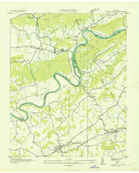
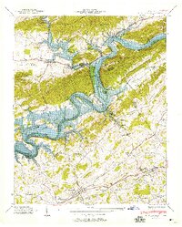
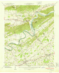
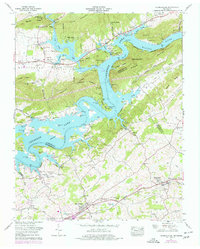
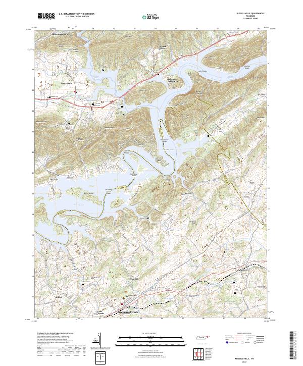
Cherokee Lake dominates this East Tennessee landscape, its winding waters flooding the old Mooresburg Valley and surrounding several prominent shoals such as Hilts Shoals and Anderson Shoals. The map reveals a deeply etched topography of parallel ridges including Short Mtn and River Knobs, which dictate the settlement patterns of towns like Mooresburg and Whitesburg. For genealogists and local historians, the sheet is exceptionally detailed with family-named burial sites like Bassett Cem, Dickson Cem, and the Etter Cem near the Hawkins Co Hamblen Co line.
Find a feature on this map
173 named features on this map. Tap any name to fly to it.
Don’t see what you’re looking for? This feature index may not catch every label — zoom into the map to look around manually.
Map Details
Editions of this 2022 Russellville Map
This is the sole edition of this map. No revisions or reprints were ever made.
Historical Maps of East Manor Through Time
5 maps found