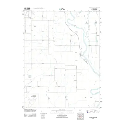
2012 Map of Russellville
USGS Topo · Published 2012About this map
The Wabash River meanders through this borderland between Illinois and Indiana, defining a landscape of complex waterways and family legacies. In the village of Russellville, the street grid centers on Market St and Vine St near the riverbank, while the surrounding countryside is densely populated with small family and community burial grounds. Genealogists will find a high concentration of these sites, including the Saint Paul Cem, Centerville Cem, and Otterburn Cem.
Find a feature on this map
69 named features on this map. Tap any name to fly to it.
Don’t see what you’re looking for? This feature index may not catch every label — zoom into the map to look around manually.
Map Details
Editions of this 2012 Russellville Map
This is the sole edition of this map. No revisions or reprints were ever made.
Other maps of this area

1915 · Vincennes
USGS Topo · 1:62,500

1917 · Birds
USGS Topo · 1:62,500

1942 · Fritchton
USGS Topo · 1:24,000

1942 · Birds
USGS Topo · 1:62,500

1943 · Carlisle
USGS Topo · 1:24,000

1943 · Oaktown
USGS Topo · 1:24,000

1944 · Fritchton
USGS Topo · 1:24,000

1944 · Vincennes
USGS Topo · 1:62,500

1956 · Vincennes
USGS Topo · 1:250,000

1957 · Vincennes
USGS Topo · 1:250,000