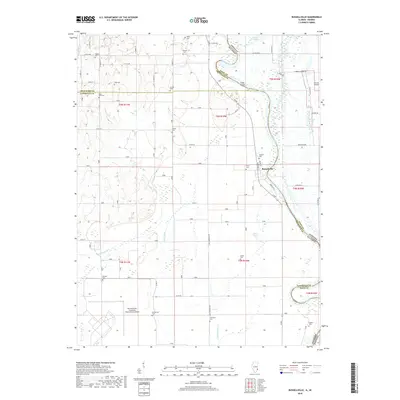
2018 Map of Russellville
USGS Topo · Published 2018About this map
The Wabash River serves as the winding centerpiece of this Illinois-Indiana borderland, defining the transition between Lawrence County and Knox County. The community of Russellville occupies the high ground above the riverbanks, where the historic shoreline is marked by features like Swan Island and the remnants of Old Busseron Creek. This landscape is heavily shaped by agricultural drainage systems, including Taylor Ditch and Ditch Number 2, which manage the low-lying terrain near Miller Pond and Grays Pond.
Find a feature on this map
66 named features on this map. Tap any name to fly to it.
Don’t see what you’re looking for? This feature index may not catch every label — zoom into the map to look around manually.
Map Details
Editions of this 2018 Russellville Map
This is the sole edition of this map. No revisions or reprints were ever made.
Other maps of this area

1915 · Vincennes
USGS Topo · 1:62,500

1917 · Birds
USGS Topo · 1:62,500

1942 · Fritchton
USGS Topo · 1:24,000

1942 · Birds
USGS Topo · 1:62,500

1943 · Carlisle
USGS Topo · 1:24,000

1943 · Oaktown
USGS Topo · 1:24,000

1944 · Fritchton
USGS Topo · 1:24,000

1944 · Vincennes
USGS Topo · 1:62,500

1956 · Vincennes
USGS Topo · 1:250,000

1957 · Vincennes
USGS Topo · 1:250,000