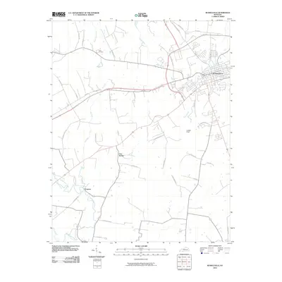
2010 Map of Russellville
USGS Topo · Published 2010About this map
Russellville serves as the focal point of this Logan County landscape, where the urban grid meets the agricultural reaches of southern Kentucky. The town is bounded by the Town Branch and modern bypasses including the US Hwy 68 Byp and Cates Byp. Beyond the city limits, the terrain is defined by a network of family-named roads such as M Sharp Rd and Joe Smith Rd, which connect outlying areas like Cave Springs and Ferguson.
Find a feature on this map
43 named features on this map. Tap any name to fly to it.
Don’t see what you’re looking for? This feature index may not catch every label — zoom into the map to look around manually.
Map Details
Editions of this 2010 Russellville Map
This is the sole edition of this map. No revisions or reprints were ever made.
Other maps of this area
1950 · Allensville
USGS Topo · 1:24,000
1950 · Olmstead
USGS Topo · 1:24,000
1951 · Olmstead
USGS Topo · 1:24,000
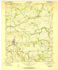
1951 · Adairville
USGS Topo · 1:24,000
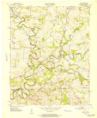
1951 · Dot
USGS Topo · 1:24,000
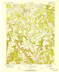
1951 · Lewisburg
USGS Topo · 1:24,000
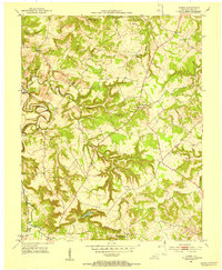
1951 · Homer
USGS Topo · 1:24,000
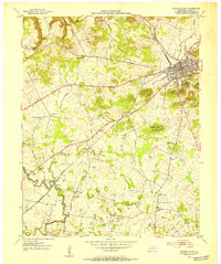
1952 · Russellville
USGS Topo · 1:24,000
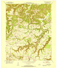
1952 · Sharon Grove
USGS Topo · 1:24,000
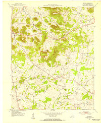
1952 · Dennis
USGS Topo · 1:24,000