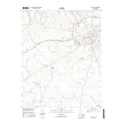
2016 Map of Russellville
USGS Topo · Published 2016About this map
Russellville serves as the primary hub of this Logan County landscape, where modern infrastructure intersects with long-standing local landmarks. The town center is marked by a grid of numbered streets and avenues, including W 2nd St and E 7th St, surrounded by newer residential corridors and industrial sectors along Industrial Rd. Genealogists will find interest in several local burial grounds, including Maple Grove Cem within the city and the County Home Cem located near the Byp 68 corridor.
Find a feature on this map
99 named features on this map. Tap any name to fly to it.
Don’t see what you’re looking for? This feature index may not catch every label — zoom into the map to look around manually.
Map Details
Editions of this 2016 Russellville Map
This is the sole edition of this map. No revisions or reprints were ever made.
Other maps of this area
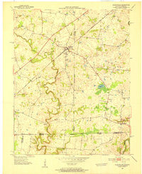
1950 · Allensville
USGS Topo · 1:24,000
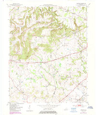
1950 · Olmstead
USGS Topo · 1:24,000
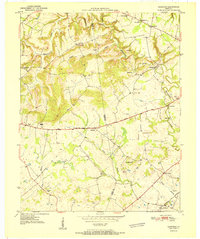
1951 · Olmstead
USGS Topo · 1:24,000
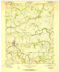
1951 · Adairville
USGS Topo · 1:24,000
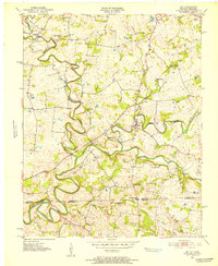
1951 · Dot
USGS Topo · 1:24,000
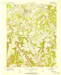
1951 · Lewisburg
USGS Topo · 1:24,000
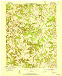
1951 · Homer
USGS Topo · 1:24,000
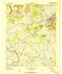
1952 · Russellville
USGS Topo · 1:24,000
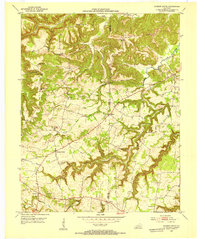
1952 · Sharon Grove
USGS Topo · 1:24,000
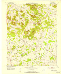
1952 · Dennis
USGS Topo · 1:24,000