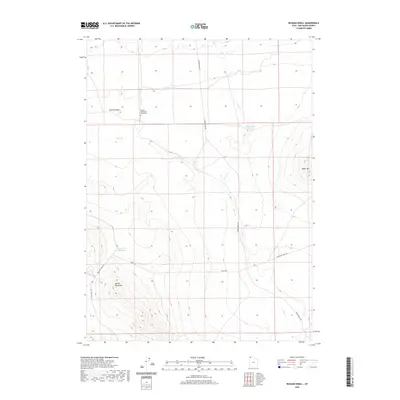
2020 Map of Russian Knoll
USGS Topo · Published 2020About this map
The Russian Settlement sits at the northern edge of this high-desert landscape in Box Elder County, accompanied by a nearby Cemetery and the prominent Russian Knoll. This area reveals a remote homesteading or communal history, where water management is critical, as evidenced by the Baker Hills Reservoir and Trail Pass Reservoir catching runoff from seasonal flows like Dove Cr. To the south, the terrain rises sharply into the Matlin Mountains, while the historic path of the Emigrant Trail Rd cuts through the western valley, marking a corridor once vital to westward expansion. Other local infrastructure is sparse, defined primarily by rugged tracks like Board Ranch Rd and Coyote Hill Rd, which navigate the arid gaps between the mountains and the drainage of Cotton Cr.
Find a feature on this map
13 named features on this map. Tap any name to fly to it.
Don’t see what you’re looking for? This feature index may not catch every label — zoom into the map to look around manually.
Map Details
Editions of this 2020 Russian Knoll Map
This is the sole edition of this map. No revisions or reprints were ever made.
Other maps of this area

1954 · Brigham City
USGS Topo · 1:250,000

1958 · Brigham City
USGS Topo · 1:250,000
1959 · Kelton Pass
USGS Topo · 1:62,500
1959 · Park Valley
USGS Topo · 1:62,500

1962 · Brigham City
USGS Topo · 1:250,000
1969 · Peplin Flats
USGS Topo · 1:24,000
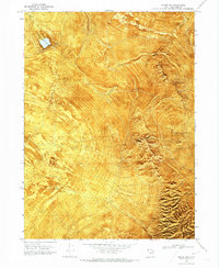
1969 · Hogup Bar
USGS Topo · 1:24,000
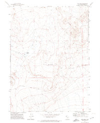
1971 · Red Dome
USGS Topo · 1:24,000
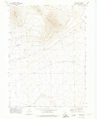
1971 · Matlin
USGS Topo · 1:24,000
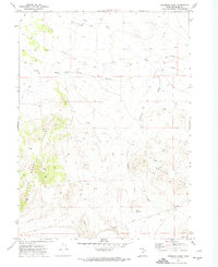
1971 · Runswick Wash
USGS Topo · 1:24,000