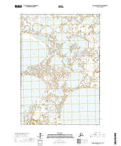
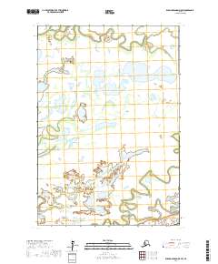
2017 Map of Russian Mission C-5 NE
USGS Topo · Published 2017About this map
Kulik Lake and Kukaklik Lake dominate this portion of the Bethel Census Area, illustrating the intricate hydrography of the Alaskan interior. The landscape is a dense network of wetlands and small water bodies characteristic of the Yukon-Kuskokwim Delta region. The Johnson River winds through the southern section of the quadrangle, serving as a primary drainage feature for the surrounding terrain. This 2017 survey by the U.S. Geological Survey provides precise topographical data for this largely uninhabited area, where the shifting patterns of water and land define the geography. The map reflects a modern state of the Alaskan wilderness, useful for environmental researchers and those tracking the specific hydrology of the Bethel region.
Find a feature on this map
7 named features on this map. Tap any name to fly to it.
Don’t see what you’re looking for? This feature index may not catch every label — zoom into the map to look around manually.
Map Details
Editions of this 2017 Russian Mission C-5 NE Map
This is the sole edition of this map. No revisions or reprints were ever made.
Other maps of this area

1947 · Russian Mission
USGS Topo · 1:250,000

1950 · Russian Mission
USGS Topo · 1:250,000

1952 · Russian Mission D-4
USGS Topo · 1:63,360

1952 · Russian Mission C-5
USGS Topo · 1:63,360
1952 · Russian Mission D-5
USGS Topo · 1:63,360

1954 · Russian Mission C-4
USGS Topo · 1:63,360

1980 · Russian Mission
USGS Topo · 1:250,000
2017 · Russian Mission D-5 SE
USGS Topo · 1:25,000
2017 · Russian Mission D-4 SW
USGS Topo · 1:25,000
2017 · Russian Mission D-5 SW
USGS Topo · 1:25,000