
1952 Map of Russian Mission C-5
USGS Topo · Published 1962About this map
The Yukon-Kuskokwim Portage traverses a water-saturated landscape dominated by thousands of small ponds and larger basins like Kulik Lake and Kukaklik Lake. This 1952 topographic study, derived from aerial photography by the Army Map Service, documents a critical overland connection between two of Alaska's primary river systems. Near the northern edge, a lone Shelter Cabin sits along the Yukon River at Albiksok, providing a rare point of human infrastructure in an otherwise untamed environment of meandering waterways. The drainage pattern is defined by the Johnson River and Crooked Creek, which thread through the maze of kettle lakes. The map captures the region's hydrography before significant modern changes, illustrating the historic transit routes used by locals and travelers to navigate the low-lying tundra.
Find a feature on this map
9 named features on this map. Tap any name to fly to it.
Don’t see what you’re looking for? This feature index may not catch every label — zoom into the map to look around manually.
Map Details
Editions of this 1952 Russian Mission C-5 Map
This is the sole edition of this map. No revisions or reprints were ever made.
Other maps of this area

1947 · Russian Mission
USGS Topo · 1:250,000

1950 · Russian Mission
USGS Topo · 1:250,000

1952 · Russian Mission D-4
USGS Topo · 1:63,360
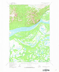
1952 · Russian Mission D-6
USGS Topo · 1:63,360
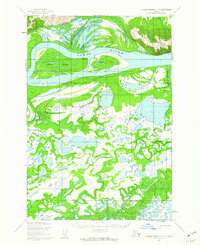
1952 · Russian Mission D-5
USGS Topo · 1:63,360
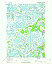
1952 · Russian Mission B-6
USGS Topo · 1:63,360
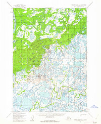
1952 · Russian Mission C-6
USGS Topo · 1:63,360

1954 · Russian Mission B-5
USGS Topo · 1:63,360

1954 · Russian Mission C-4
USGS Topo · 1:63,360

1954 · Russian Mission B-4
USGS Topo · 1:63,360