
1954 Map of Russian Mission B-4
USGS Topo · Published 1962About this map
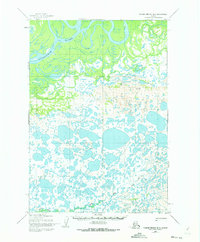
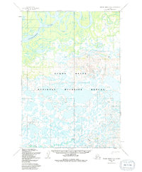
The Kuskokwim River dominates the northern reaches of this 1954 topographic study, winding through a complex network of sloughs and abandoned channels that characterize the alluvial landscape. This territory, mapped by the Army Map Service, highlights the essential transport infrastructure of the mid-twentieth century, including a Winter Trail that cuts across the river's bends to facilitate overland travel during the frozen months. To the south, the terrain transforms into a dense mosaic of small lakes and ponds, drained by the meandering course of Bogus Creek. The lack of permanent structures or settlements on the sheet underscores the seasonal nature of human activity in this part of the Bethel region during the early 1950s, where movement was dictated by the river and established trails.
Find a feature on this map
3 named features on this map. Tap any name to fly to it.
Don’t see what you’re looking for? This feature index may not catch every label — zoom into the map to look around manually.
Map Details
Editions of this 1954 Russian Mission B-4 Map
3 editions found
Other maps of this area

1947 · Russian Mission
USGS Topo · 1:250,000

1950 · Russian Mission
USGS Topo · 1:250,000

1952 · Russian Mission C-3
USGS Topo · 1:63,360

1952 · Russian Mission C-5
USGS Topo · 1:63,360

1952 · Russian Mission B-3
USGS Topo · 1:63,360

1954 · Russian Mission A-4
USGS Topo · 1:63,360

1954 · Russian Mission B-5
USGS Topo · 1:63,360

1954 · Russian Mission A-5
USGS Topo · 1:63,360

1954 · Russian Mission C-4
USGS Topo · 1:63,360

1954 · Russian Mission A-3
USGS Topo · 1:63,360