
1952 Map of Russian Mission C-3
USGS Topo · Published 1960About this map
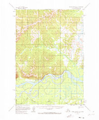
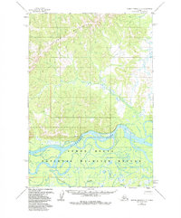
The Kuskokwim River defines the southern reach of this landscape, its wide channel braiding through a low-lying basin filled with hundreds of small ponds and marshy wetlands. To the north, the Portage Mountains rise sharply, providing a distinct topographic boundary against the alluvial plains. This mid-century survey illustrates the vital role of seasonal transport in the Alaska interior, specifically showing the Winter Trail cutting through the foothills north of the river. A lone Cabin situated along a river bend east of the mountain slopes represents the only named structure in this wilderness, serving as a primary point of reference for navigation or shelter. This 1952 record emphasizes the Seward Meridian land lines as predetermined but unsurveyed, capturing the region during a period of early photogrammetric mapping before modern infrastructure altered the river corridor.
Find a feature on this map
5 named features on this map. Tap any name to fly to it.
Don’t see what you’re looking for? This feature index may not catch every label — zoom into the map to look around manually.
Map Details
Editions of this 1952 Russian Mission C-3 Map
3 editions found
Other maps of this area

1947 · Russian Mission
USGS Topo · 1:250,000

1950 · Russian Mission
USGS Topo · 1:250,000

1952 · Russian Mission D-2
USGS Topo · 1:63,360

1952 · Russian Mission D-3
USGS Topo · 1:63,360

1952 · Russian Mission C-2
USGS Topo · 1:63,360

1952 · Russian Mission D-4
USGS Topo · 1:63,360

1952 · Russian Mission B-2
USGS Topo · 1:63,360

1952 · Russian Mission B-3
USGS Topo · 1:63,360

1954 · Russian Mission C-4
USGS Topo · 1:63,360

1954 · Russian Mission B-4
USGS Topo · 1:63,360