
1952 Map of Russian Mission B-2
USGS Topo · Published 1966About this map
Discovery Creek and Swift Creek define the drainage of this wetland-rich landscape in the northern Kuskokwim River region. The terrain is characterized by an intricate network of hundreds of unnamed ponds and lakes, as interpreted from aerial photography by the U.S. Geological Survey in the early 1950s. This specific environment reveals the complex hydrology of the Alaskan interior before modern development. A notable human element is the Winter Trail, which cuts across the marshy lowlands, providing a critical transportation link through a region otherwise dominated by water. The land lines shown here represent unsurveyed and unmarked locations predetermined by the Bureau of Land Management, reflecting the early administrative efforts to map this part of the Bethel area.
Find a feature on this map
3 named features on this map. Tap any name to fly to it.
Don’t see what you’re looking for? This feature index may not catch every label — zoom into the map to look around manually.
Map Details
Editions of this 1952 Russian Mission B-2 Map
This is the sole edition of this map. No revisions or reprints were ever made.
Other maps of this area

1947 · Russian Mission
USGS Topo · 1:250,000

1950 · Russian Mission
USGS Topo · 1:250,000

1952 · Russian Mission C-1
USGS Topo · 1:63,360

1952 · Russian Mission C-3
USGS Topo · 1:63,360

1952 · Russian Mission C-2
USGS Topo · 1:63,360

1952 · Russian Mission B-3
USGS Topo · 1:63,360
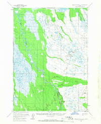
1952 · Russian Mission B-1
USGS Topo · 1:63,360

1954 · Russian Mission A-3
USGS Topo · 1:63,360
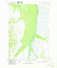
1979 · Russian Mission A-1
USGS Topo · 1:63,360

1979 · Russian Mission A-2
USGS Topo · 1:63,360