
1954 Map of Russian Mission A-5
USGS Topo · Published 1962About this map
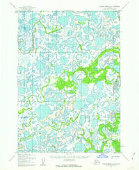
The Kuskokwim River dominates the northwest corner of this mid-century topographic study, serving as the primary drainage for a vast network of sloughs and meandering tributaries in the Alaska wilderness. The terrain is defined by its complex hydrology, where the Tuluksak River and Fog River wind through an intricate landscape of unnamed lakes and wetlands. This area shows a reliance on seasonal access, evidenced by the Winter Trail that cuts across the river valleys to provide overland passage when the ground is frozen.
Find a feature on this map
10 named features on this map. Tap any name to fly to it.
Don’t see what you’re looking for? This feature index may not catch every label — zoom into the map to look around manually.
Map Details
Editions of this 1954 Russian Mission A-5 Map
This is the sole edition of this map. No revisions or reprints were ever made.
Other maps of this area

1947 · Russian Mission
USGS Topo · 1:250,000

1950 · Russian Mission
USGS Topo · 1:250,000

1950 · Bethel
USGS Topo · 1:250,000
1952 · Russian Mission B-6
USGS Topo · 1:63,360

1954 · Russian Mission A-4
USGS Topo · 1:63,360

1954 · Russian Mission B-5
USGS Topo · 1:63,360

1954 · Russian Mission A-6
USGS Topo · 1:63,360

1954 · Russian Mission B-4
USGS Topo · 1:63,360

1954 · Bethel D-4
USGS Topo · 1:63,360

1954 · Bethel D-6
USGS Topo · 1:63,360