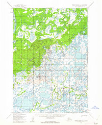
1952 Map of Russian Mission C-6
USGS Topo · Published 1962About this map
Talbiksok River meanders across a dense network of lakes and marshes in this early 1950s study of the Bethel region. The landscape is dominated by a complex hydrological pattern where the Portage Slough and the winding course of the Johnson River define the movement of water across the tundra. This map, based on 1951 aerial photography, captures the interior wilderness before modern infrastructure, documenting a labyrinth of unnamed ponds and saturated lowlands that characterize this part of the Alaskan bush. The lack of established settlements or roads highlights the isolation of the area during the mid-century, making it an essential reference for understanding the natural drainage and original terrain of the Russian Mission quadrangle.
Find a feature on this map
3 named features on this map. Tap any name to fly to it.
Don’t see what you’re looking for? This feature index may not catch every label — zoom into the map to look around manually.
Map Details
Editions of this 1952 Russian Mission C-6 Map
This is the sole edition of this map. No revisions or reprints were ever made.
Other maps of this area

1947 · Russian Mission
USGS Topo · 1:250,000

1950 · Russian Mission
USGS Topo · 1:250,000
1952 · Russian Mission C-7
USGS Topo · 1:63,360
1952 · Russian Mission D-6
USGS Topo · 1:63,360

1952 · Russian Mission C-5
USGS Topo · 1:63,360
1952 · Russian Mission D-5
USGS Topo · 1:63,360
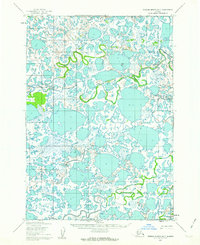
1952 · Russian Mission B-7
USGS Topo · 1:63,360
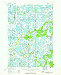
1952 · Russian Mission B-6
USGS Topo · 1:63,360
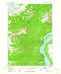
1952 · Russian Mission D-7
USGS Topo · 1:63,360

1954 · Russian Mission B-5
USGS Topo · 1:63,360