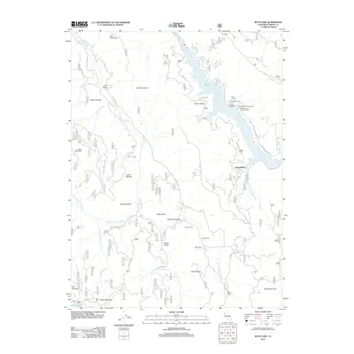
2012 Map of Ruth Lake
USGS Topo · Published 2012About this map
Ruth Lake and the winding course of the Mad River dominate this Trinity County landscape, where the water is hemmed in by prominent ridgelines and openings. The map captures a region defined by established family holdings and ranching history, noting landmarks such as Duncan Ranch, Gilman Ranch, and the Old Willburn Ranch in the southern reaches. To the west, the Van Duzen River and its western fork carve through the terrain near Murphy Glades and Boles Opening. High points like Grizzly Mountain and Hettenshaw Peak provide significant vertical relief above the Hettenshaw Valley. Recreational sites are concentrated along the eastern shores of the lake, including the Fir Cove Campground and Bailey Canyon Campground, reflecting the area's modern role as a destination for outdoor activity within the forest lands.
Find a feature on this map
44 named features on this map. Tap any name to fly to it.
Don’t see what you’re looking for? This feature index may not catch every label — zoom into the map to look around manually.
Map Details
Editions of this 2012 Ruth Lake Map
This is the sole edition of this map. No revisions or reprints were ever made.
Other maps of this area

1918 · Anada
USGS Topo · 1:62,500

1920 · Harris
USGS Topo · 1:62,500

1921 · Hoaglin
USGS Topo · 1:62,500

1922 · Island Mountain
USGS Topo · 1:62,500

1931 · Hoaglin
USGS Topo · 1:96,000

1935 · Hoaglin
USGS Topo · 1:125,000

1949 · Blocksburg
USGS Topo · 1:62,500

1949 · Alderpoint
USGS Topo · 1:62,500

1951 · Alderpoint
USGS Topo · 1:62,500

1951 · Blocksburg
USGS Topo · 1:62,500