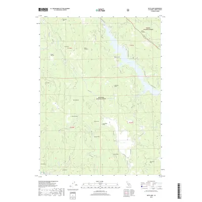
2018 Map of Ruth Lake
USGS Topo · Published 2018About this map
Ruth Lake dominates the eastern drainage of this Trinity County terrain, where the waters of the Mad River are impounded against the steep slopes of South Fork Mtn. This 2018 survey illustrates the complex geography of the Trinity National Forest and Six Rivers National Forest boundary. The landscape is defined by high ridges like the Devils Backbone and Mad River Ridge, which separate the lake's watershed from the headwaters of the Van Duzen River to the west. In the southern portion of the map, the broad Hettenshaw Valley sits below the prominent Hettenshaw Peak, offering a rare stretch of level ground amidst the mountains. Numerous clearings and glades, such as Murphy Glades and Rainy Glades, are interspersed between timbered slopes and rocky outcrops like Mad River Rock and Hetten Rock. This map is essential for tracing the network of forest routes, including the Star Rt HC 62 and Ruth Zenia Rd, that connect these isolated valleys.
Find a feature on this map
50 named features on this map. Tap any name to fly to it.
Don’t see what you’re looking for? This feature index may not catch every label — zoom into the map to look around manually.
Map Details
Editions of this 2018 Ruth Lake Map
This is the sole edition of this map. No revisions or reprints were ever made.
Other maps of this area
1918 · Anada
USGS Topo · 1:62,500
1920 · Harris
USGS Topo · 1:62,500
1921 · Hoaglin
USGS Topo · 1:62,500
1922 · Island Mountain
USGS Topo · 1:62,500
1931 · Hoaglin
USGS Topo · 1:96,000
1935 · Hoaglin
USGS Topo · 1:125,000
1949 · Blocksburg
USGS Topo · 1:62,500
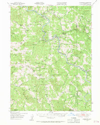
1949 · Alderpoint
USGS Topo · 1:62,500
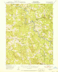
1951 · Alderpoint
USGS Topo · 1:62,500
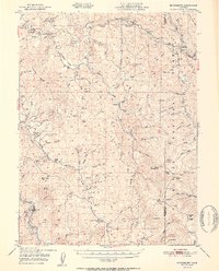
1951 · Blocksburg
USGS Topo · 1:62,500