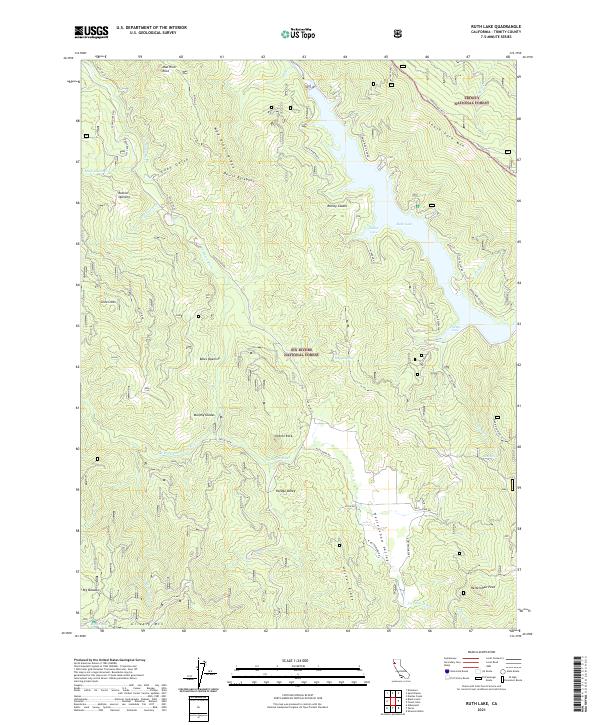
2021 Map of Ruth Lake
USGS Topo · Published 2021About this map
Ruth Lake and the Ruth Reservoir dominate the northeastern landscape of this Trinity County territory, where the Mad River is managed by significant hydrological infrastructure. The terrain transitions from the water's edge at Dillon Cove and Hetten Cove into a series of interior openings and glades that suggest a history of grazing or small-scale mountain agriculture. Locations such as Rainey Glades, Boles Opening, and Murphy Glades serve as distinct markers within the surrounding timberlands of the Six Rivers National Forest and Trinity National Forest.
Find a feature on this map
55 named features on this map. Tap any name to fly to it.
Don’t see what you’re looking for? This feature index may not catch every label — zoom into the map to look around manually.
Map Details
Editions of this 2021 Ruth Lake Map
This is the sole edition of this map. No revisions or reprints were ever made.
Other maps of this area

1918 · Anada
USGS Topo · 1:62,500

1920 · Harris
USGS Topo · 1:62,500

1921 · Hoaglin
USGS Topo · 1:62,500

1922 · Island Mountain
USGS Topo · 1:62,500

1931 · Hoaglin
USGS Topo · 1:96,000

1935 · Hoaglin
USGS Topo · 1:125,000

1949 · Blocksburg
USGS Topo · 1:62,500

1949 · Alderpoint
USGS Topo · 1:62,500

1951 · Alderpoint
USGS Topo · 1:62,500

1951 · Blocksburg
USGS Topo · 1:62,500