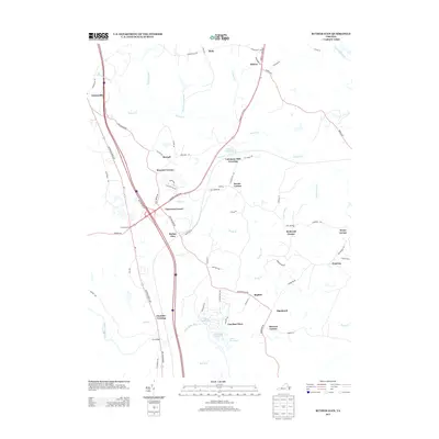
2013 Map of Ruther Glen
USGS Topo · Published 2013About this map
Ruther Glen and the surrounding Caroline County landscape are defined by a network of historic crossroads and waterway-linked settlements. The area shows a transition from traditional rural hubs like Balty, Athens, and Moncure Corner toward more modern developments such as Caroline Pines and Lake Pinewood. The legacy of 19th-century industry is visible in labels like Colemans Millpond and Colemans Mill Crossing, while the strategic importance of the transportation corridor is evidenced by the convergence of Us-1 and Jefferson Davis Hwy. Local history is anchored by Carmel Church, situated near the intersection of modern bypasses and older routes like Jericho Rd. The southern portion of the map is dominated by the North Anna River and Bull Run, contrasting with the swampy terrain of Rafe Swamp and Saddle Swamp to the east.
Find a feature on this map
78 named features on this map. Tap any name to fly to it.
Don’t see what you’re looking for? This feature index may not catch every label — zoom into the map to look around manually.
Map Details
Editions of this 2013 Ruther Glen Map
This is the sole edition of this map. No revisions or reprints were ever made.
Other maps of this area

1887 · Spottsylvania
USGS Topo · 1:125,000

1889 · Fredericksburg
USGS Topo · 1:125,000

1890 · Goochland
USGS Topo · 1:125,000

1892 · Fredericksburg
USGS Topo · 1:125,000

1892 · Spottsylvania
USGS Topo · 1:125,000

1892 · Goochland
USGS Topo · 1:125,000

1894 · Fredericksburg
USGS Topo · 1:125,000

1918 · Doswell
USGS Topo · 1:62,500

1942 · Bowling Green
USGS Topo · 1:31,680

1942 · Woodford
USGS Topo · 1:31,680