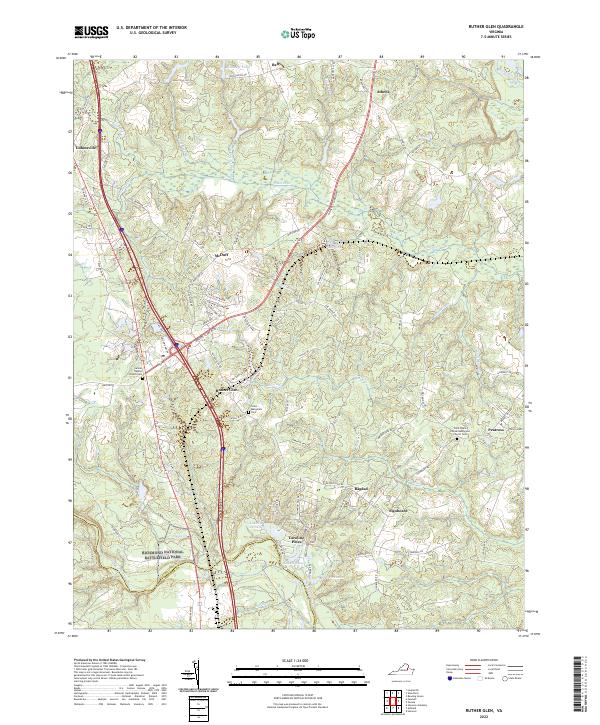
2022 Map of Ruther Glen
USGS Topo · Published 2022About this map
Ruther Glen sits at the center of this Virginia landscape, where modern transportation corridors intersect with deeply rooted historical sites. The southern reaches of the quadrangle include a portion of the Richmond National Battlefield Park along the border of Caroline and Hanover counties, preserving ground essential to Civil War history. This area is characterized by a high density of rural cemeteries and churches, such as Carmel Baptist Church Cem and Saint Paul's United Methodist Church Cem, which serve as vital landmarks for genealogical research. The terrain is defined by the drainage systems of the Mattaponi River and North Anna River, with numerous mill runs like Stevens Mill Run and Delarnette Mill Run suggesting a legacy of early water-powered industry. Residential growth is evident in the planned community of Caroline Pines, centered around Lake De Jarnette and Lake Shannon.
Find a feature on this map
89 named features on this map. Tap any name to fly to it.
Don’t see what you’re looking for? This feature index may not catch every label — zoom into the map to look around manually.
Map Details
Editions of this 2022 Ruther Glen Map
This is the sole edition of this map. No revisions or reprints were ever made.
Other maps of this area

1887 · Spottsylvania
USGS Topo · 1:125,000

1889 · Fredericksburg
USGS Topo · 1:125,000

1890 · Goochland
USGS Topo · 1:125,000

1892 · Fredericksburg
USGS Topo · 1:125,000

1892 · Spottsylvania
USGS Topo · 1:125,000

1892 · Goochland
USGS Topo · 1:125,000

1894 · Fredericksburg
USGS Topo · 1:125,000

1918 · Doswell
USGS Topo · 1:62,500

1942 · Bowling Green
USGS Topo · 1:31,680

1942 · Woodford
USGS Topo · 1:31,680