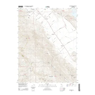
2015 Map of Rutherford
USGS Topo · Published 2015About this map
The Napa River valley floor transitions into the heights of the Mayacamas Mountains in this detailed survey of California's premier wine country. Long-established viticultural communities like Saint Helena, Rutherford, and Oakville are connected by the Silverado Trl and Main St, with smaller loading points like Thoman and Zinfandel marking the valley's agricultural infrastructure. The map documents significant local history sites, including the Saint Helena Public Cemetery and Catholic Cemetery at the base of the foothills near Sulphur Canyon. To the west, the landscape rises sharply toward Mt Saint John and Bald Mtn, crossing the boundary between Napa and Sonoma counties. The drainage network is complex, with Bale Slough and Conn Cr feeding the river, while Lake Hennessey and Lake Hinman provide essential water storage for the surrounding vineyards and the community of Yountville.
Find a feature on this map
90 named features on this map. Tap any name to fly to it.
Don’t see what you’re looking for? This feature index may not catch every label — zoom into the map to look around manually.
Map Details
Editions of this 2015 Rutherford Map
This is the sole edition of this map. No revisions or reprints were ever made.
Other maps of this area
1902 · Napa
USGS Topo · 1:125,000
1916 · Santa Rosa
USGS Topo · 1:62,500
1927 · Calistoga
USGS Topo · 1:62,500
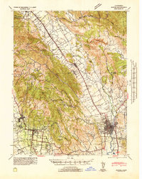
1942 · Sonoma
USGS Topo · 1:62,500
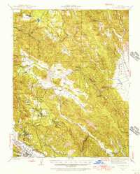
1942 · St. Helena
USGS Topo · 1:62,500
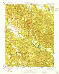
1943 · Calistoga
USGS Topo · 1:62,500
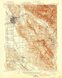
1944 · Santa Rosa
USGS Topo · 1:62,500
1945 · Calistoga
USGS Topo · 1:62,500
1945 · St. Helena
USGS Topo · 1:62,500
1947 · Santa Rosa
USGS Topo · 1:250,000