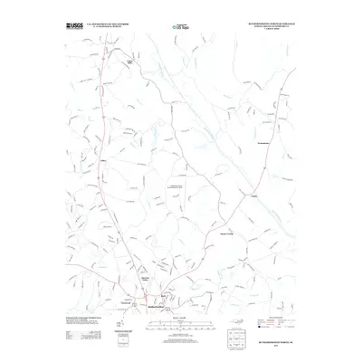
2013 Map of Rutherfordton North
USGS Topo · Published 2013About this map
Rutherfordton and its northern satellite communities define the landscape of this 2013 survey, where the Piedmont begins its ascent toward the Blue Ridge. The settlement pattern shows distinct clusters such as Ruth, Thermal Valley, and Fernwood, often centered around historically significant road junctions and river crossings. Aviation infrastructure is a prominent modern landmark at Rutherford County Airport-Marchman Field, situated on a plateau east of the Catheys Cr drainage. To the north, the geography becomes more dispersed with settlements like Union Mills and Gilkey connected by a dense network of local roads such as Old Union Mills Rd and Lawing Mill Rd. The Second Broad River and its tributaries, including Big Camp Cr and Cherry Cr, carve the terrain, while the elevation culminates at High Peak in the southeast, offering a clear view of the transition from industrial valleys to upland forests.
Find a feature on this map
193 named features on this map. Tap any name to fly to it.
Don’t see what you’re looking for? This feature index may not catch every label — zoom into the map to look around manually.
Map Details
Editions of this 2013 Rutherfordton North Map
This is the sole edition of this map. No revisions or reprints were ever made.
Other maps of this area

1900 · Mount Mitchell
USGS Topo · 1:125,000

1902 · Mount Mitchell
USGS Topo · 1:125,000

1905 · Morganton
USGS Topo · 1:125,000

1907 · Saluda
USGS Topo · 1:125,000

1953 · Charlotte
USGS Topo · 1:250,000

1954 · Charlotte
USGS Topo · 1:250,000

1955 · Knoxville
USGS Topo · 1:250,000

1957 · Knoxville
USGS Topo · 1:250,000

1959 · Lake Lure
USGS Topo · 1:62,500

1960 · Knoxville
USGS Topo · 1:250,000