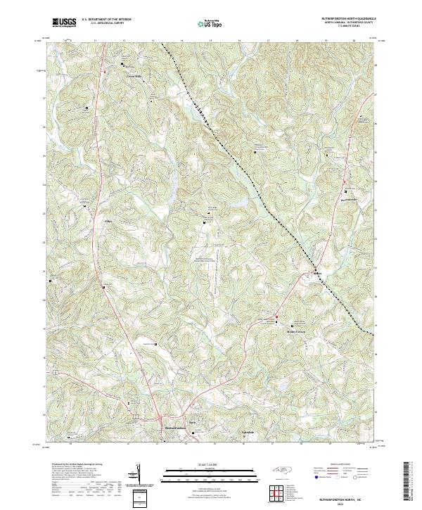
2022 Map of Rutherfordton North
USGS Topo · Published 2022About this map
Union Mills and Gilkey anchor the northern landscape of this North Carolina survey, where the Second Broad River carves a winding path through the foothills. The map reveals a dense network of local roads such as Old Union Mills Rd and Coney Island Rd, connecting established communities with numerous spiritual and memorial sites. This includes the Mount Hebron United Methodist Church Graveyard and Brittain Cem, which provide significant data points for genealogists. The southern portion of the sheet transitions into the more developed areas of Rutherfordton, Ruth, and Spindale. Centrally located, the Rutherford County Airport/Marchman Field serves as a modern landmark amidst older geographic features like Catheys Cr and Breeze Hill. The distribution of cemeteries, such as the remote Gold Hill Cem, highlights the long-standing settlement patterns of Rutherford County.
Find a feature on this map
187 named features on this map. Tap any name to fly to it.
Don’t see what you’re looking for? This feature index may not catch every label — zoom into the map to look around manually.
Map Details
Editions of this 2022 Rutherfordton North Map
This is the sole edition of this map. No revisions or reprints were ever made.
Other maps of this area

1900 · Mount Mitchell
USGS Topo · 1:125,000

1902 · Mount Mitchell
USGS Topo · 1:125,000

1905 · Morganton
USGS Topo · 1:125,000

1907 · Saluda
USGS Topo · 1:125,000

1953 · Charlotte
USGS Topo · 1:250,000

1954 · Charlotte
USGS Topo · 1:250,000

1955 · Knoxville
USGS Topo · 1:250,000

1957 · Knoxville
USGS Topo · 1:250,000

1959 · Lake Lure
USGS Topo · 1:62,500

1960 · Knoxville
USGS Topo · 1:250,000