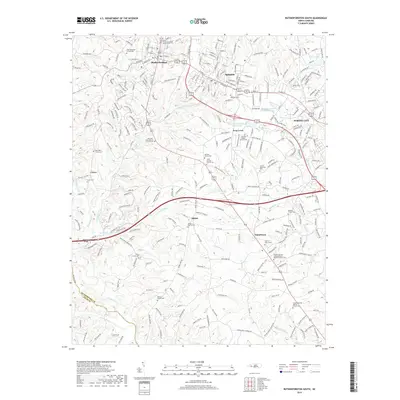
2019 Map of Rutherfordton South
USGS Topo · Published 2019About this map
The Broad River and Green River converge near the southwestern corner of this study, defining a landscape of deep creek valleys and rising ridges in Rutherford County. The towns of Rutherfordton, Spindale, and Forest City form an interconnected corridor along the northern edge, where the industrial and commercial legacy of the region is most visible. This map reveals a high concentration of small rural communities and church-centered settlements, including Shiloh, Danieltown, and the evocatively named Butcher Hollar.
Find a feature on this map
66 named features on this map. Tap any name to fly to it.
Don’t see what you’re looking for? This feature index may not catch every label — zoom into the map to look around manually.
Map Details
Editions of this 2019 Rutherfordton South Map
This is the sole edition of this map. No revisions or reprints were ever made.
Other maps of this area

1907 · Saluda
USGS Topo · 1:125,000

1953 · Charlotte
USGS Topo · 1:250,000

1954 · Charlotte
USGS Topo · 1:250,000

1955 · Knoxville
USGS Topo · 1:250,000

1957 · Knoxville
USGS Topo · 1:250,000

1959 · Lake Lure
USGS Topo · 1:62,500

1959 · Cowpens
USGS Topo · 1:62,500

1960 · Knoxville
USGS Topo · 1:250,000

1960 · Charlotte
USGS Topo · 1:250,000

1961 · Inman
USGS Topo · 1:62,500